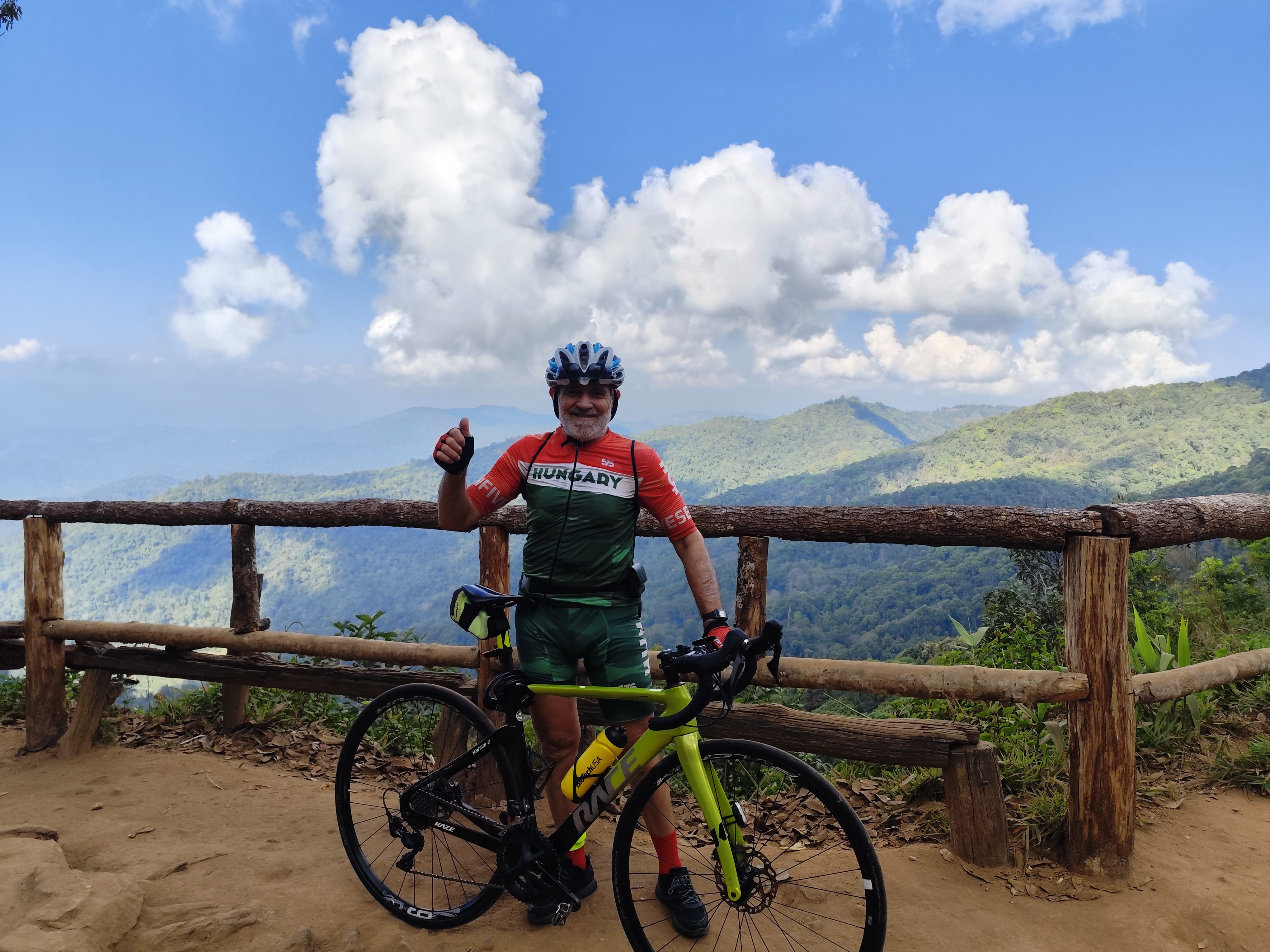
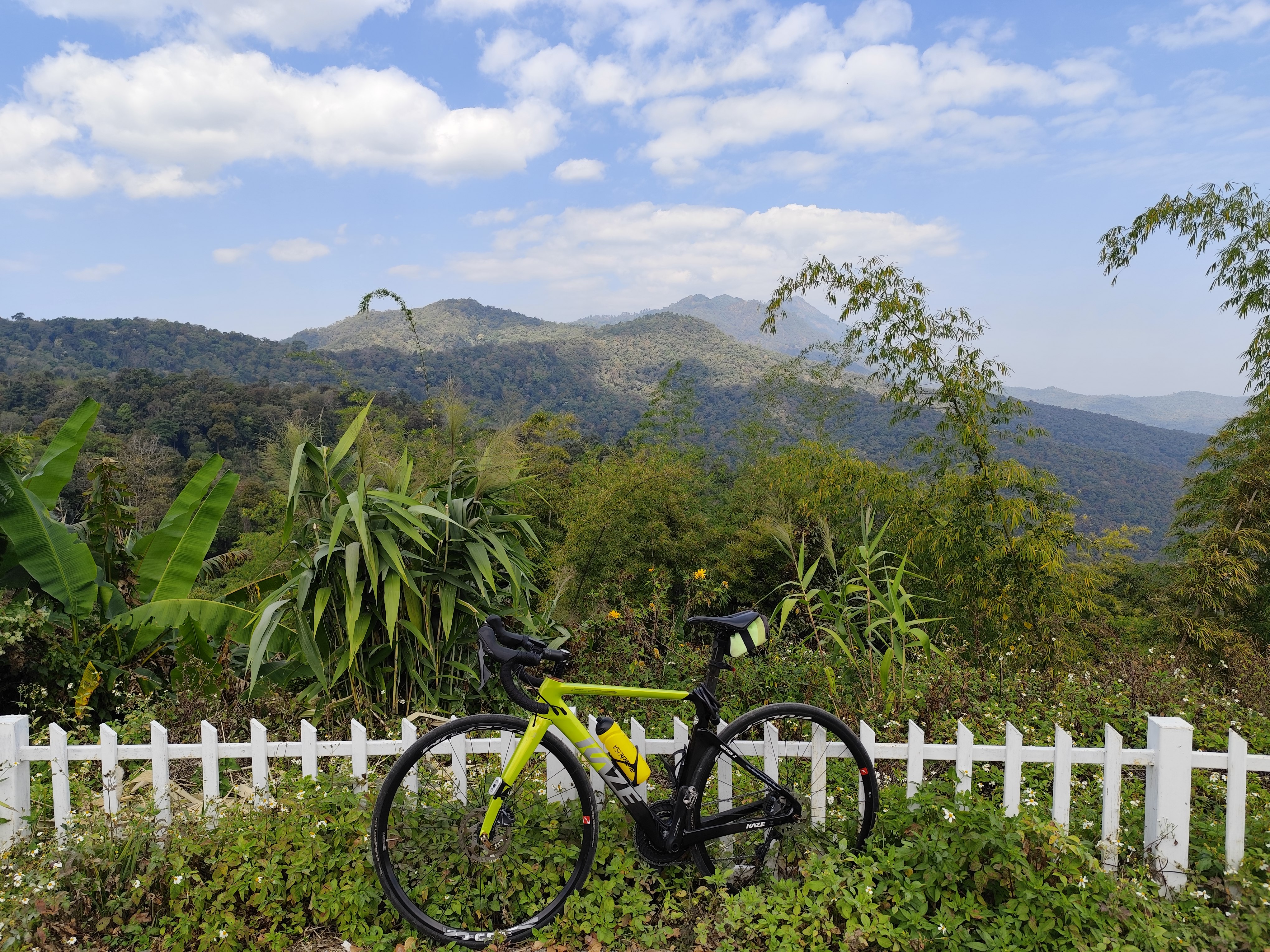
Mountain Pass Cycling Tour: to climb Mountain Passes in Northern Thailand done in January, 2026
I had been traveling 850 km with a rented car. Along the way, I have cycled 450 km, 8400 m difference of level , climbed 13 mountain passes, mostly in the Chiang Mai area.
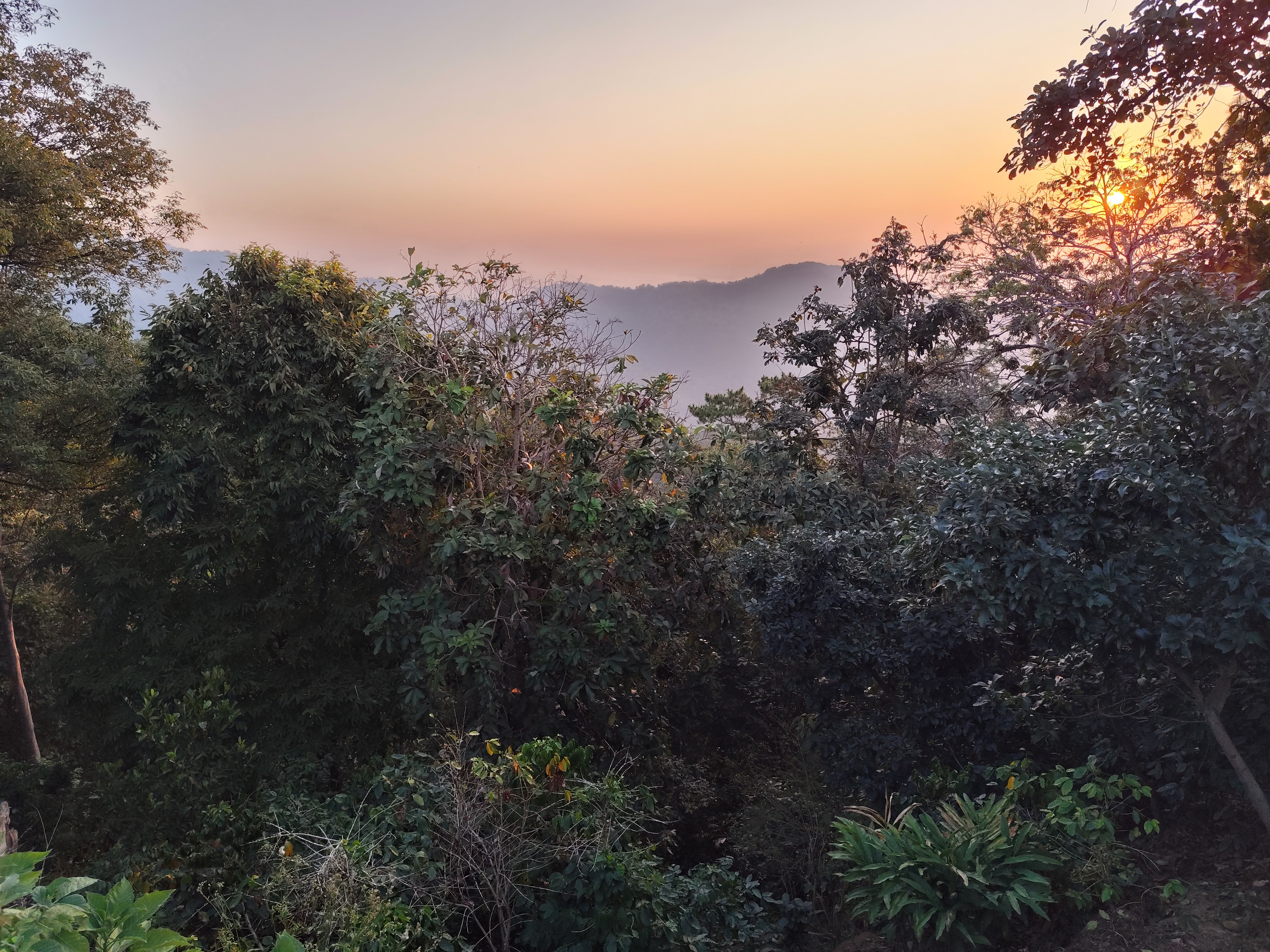
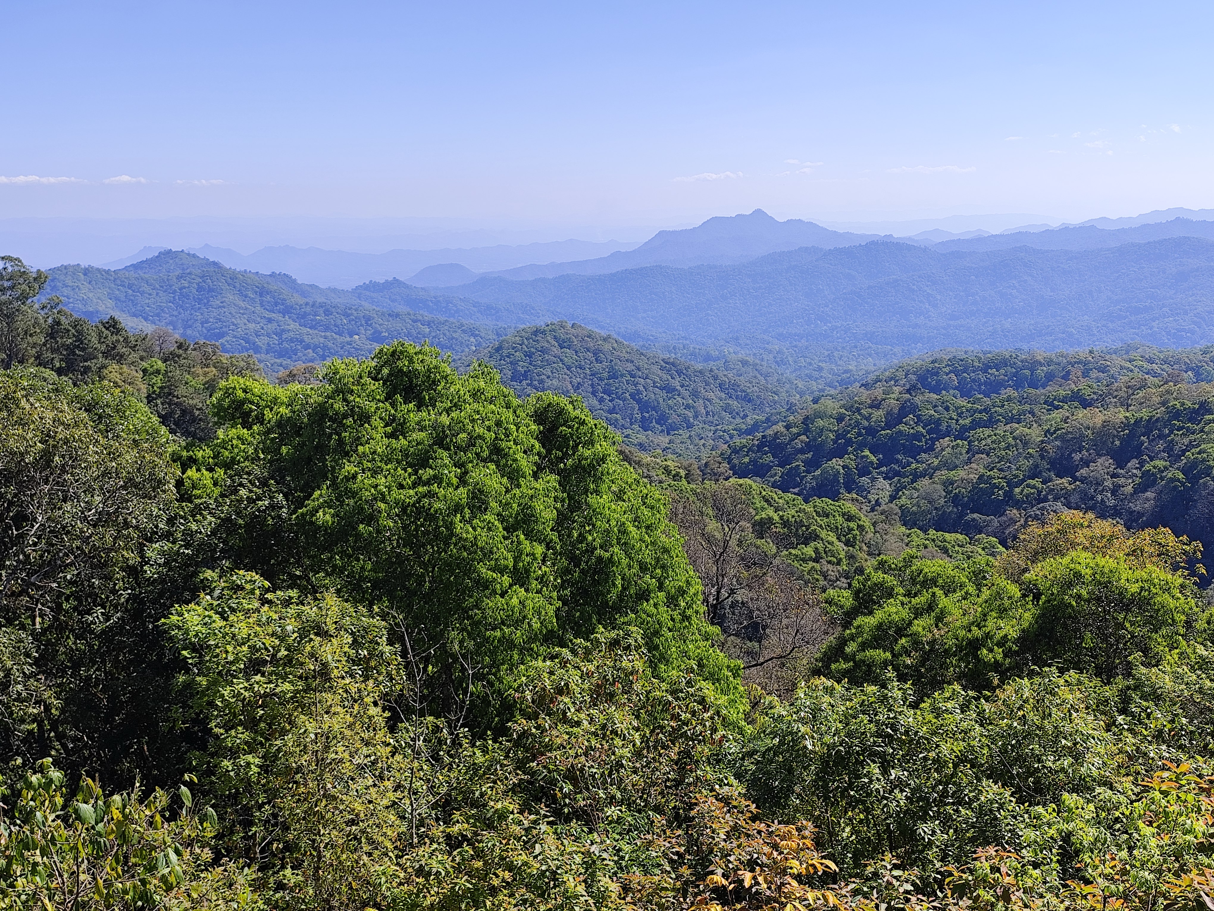
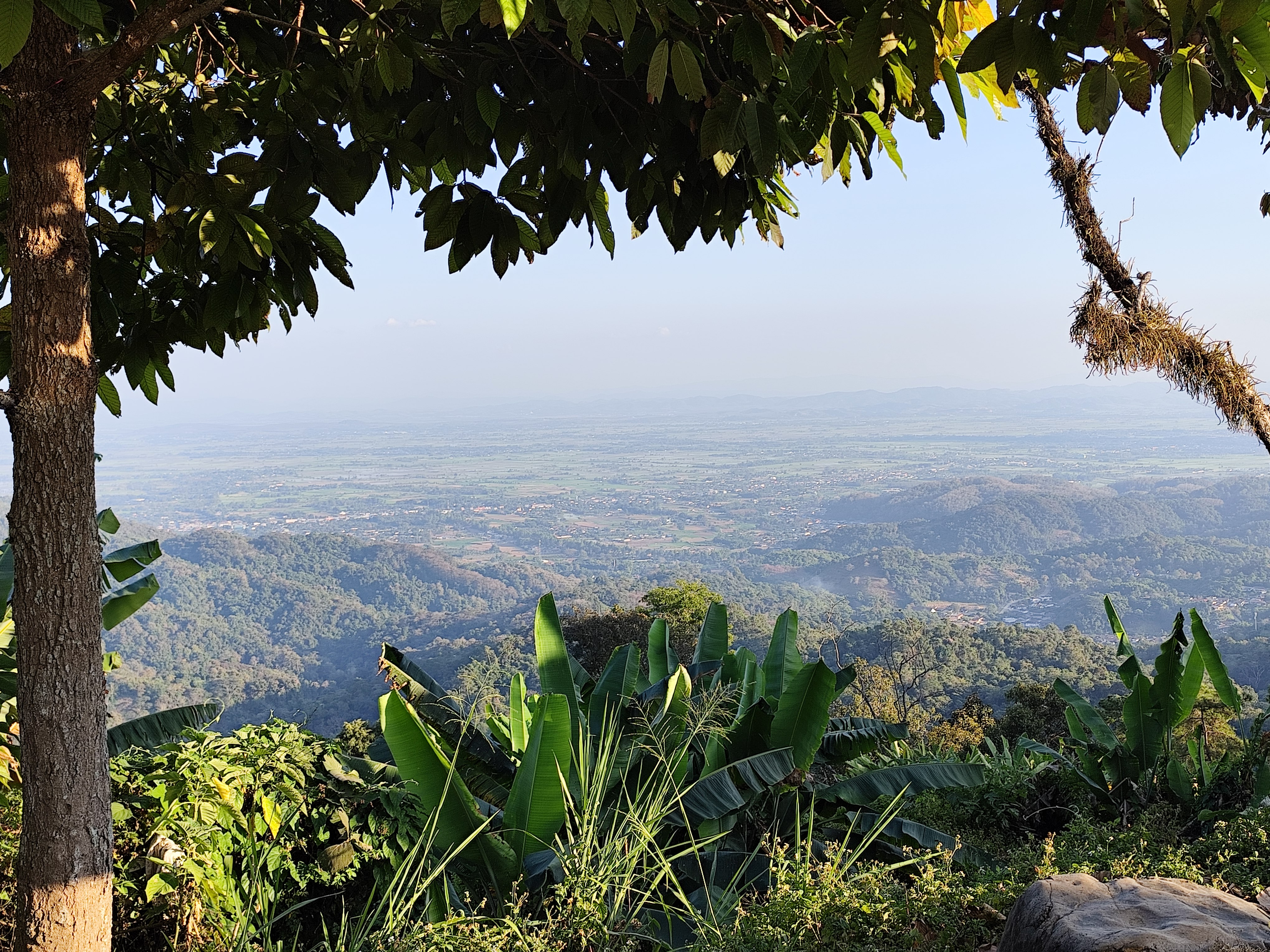
sunrise over the jungle in Chiang Rai province near Mianmar
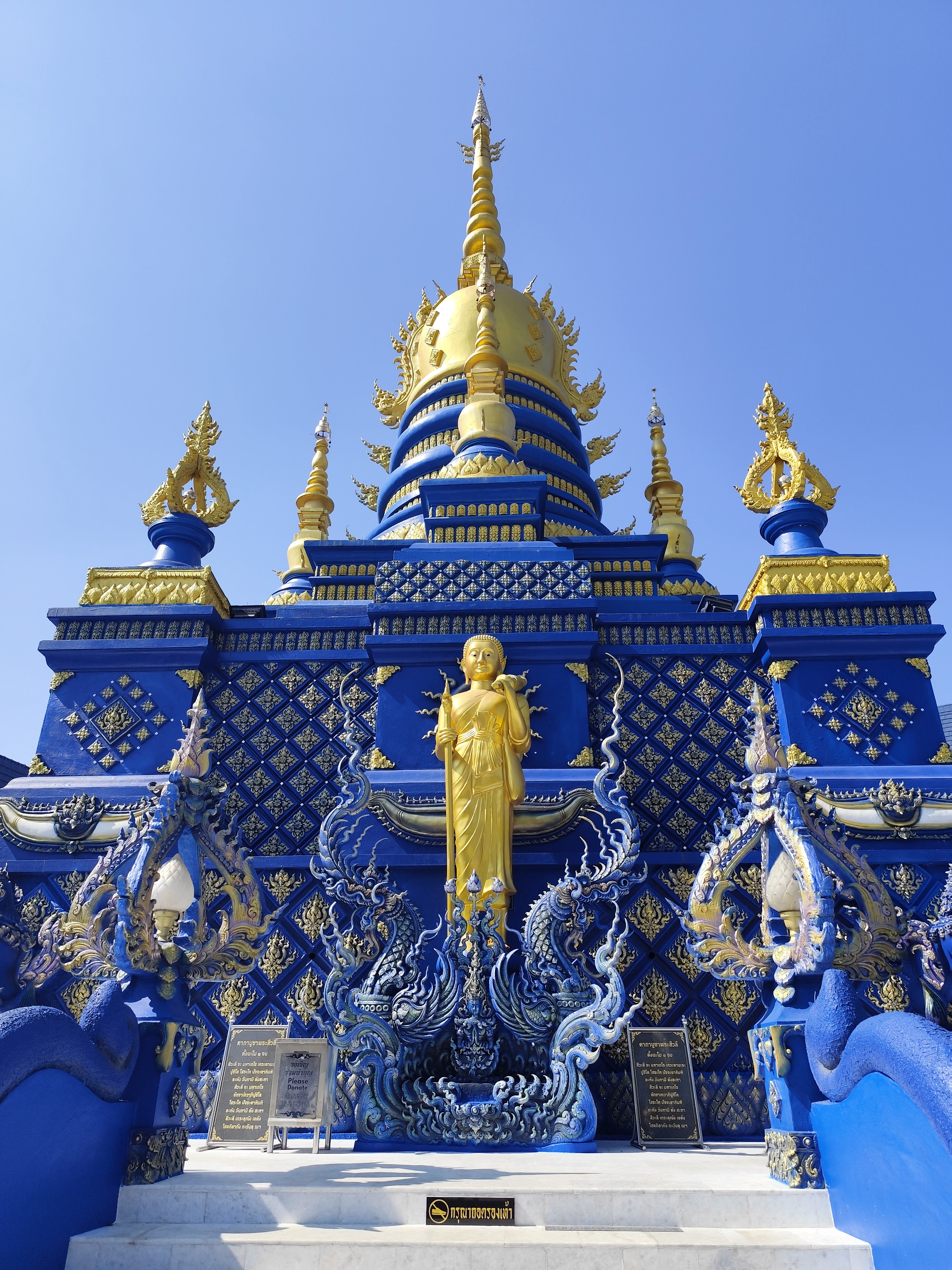
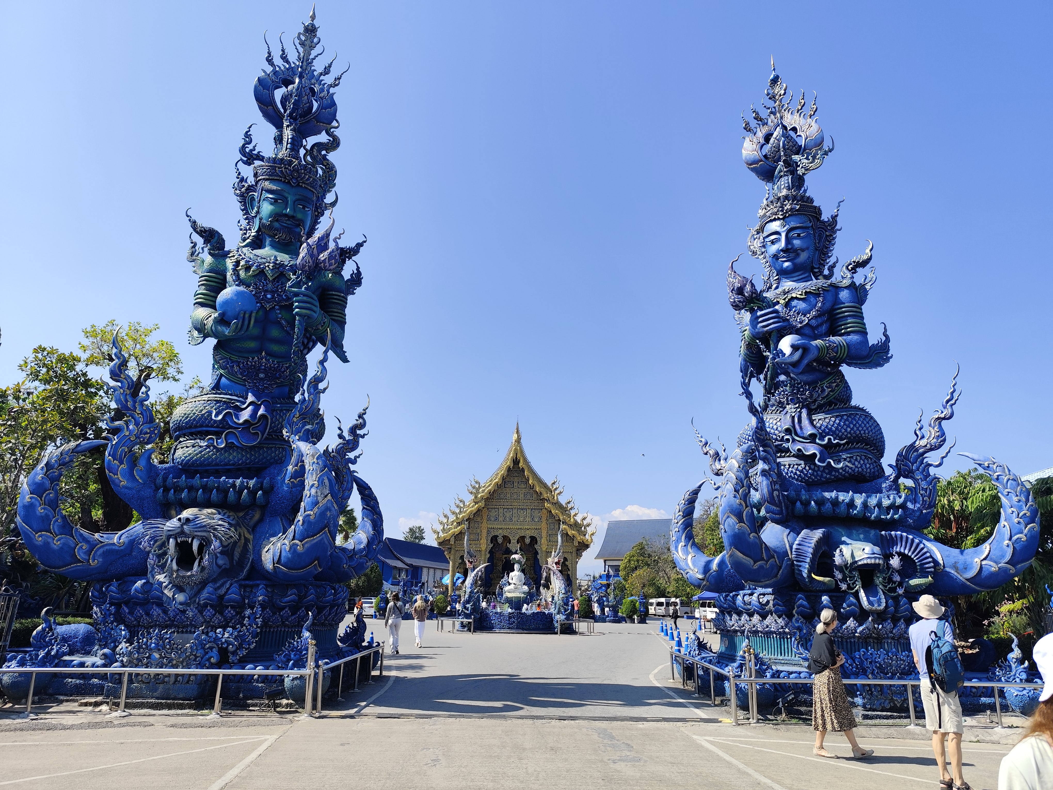
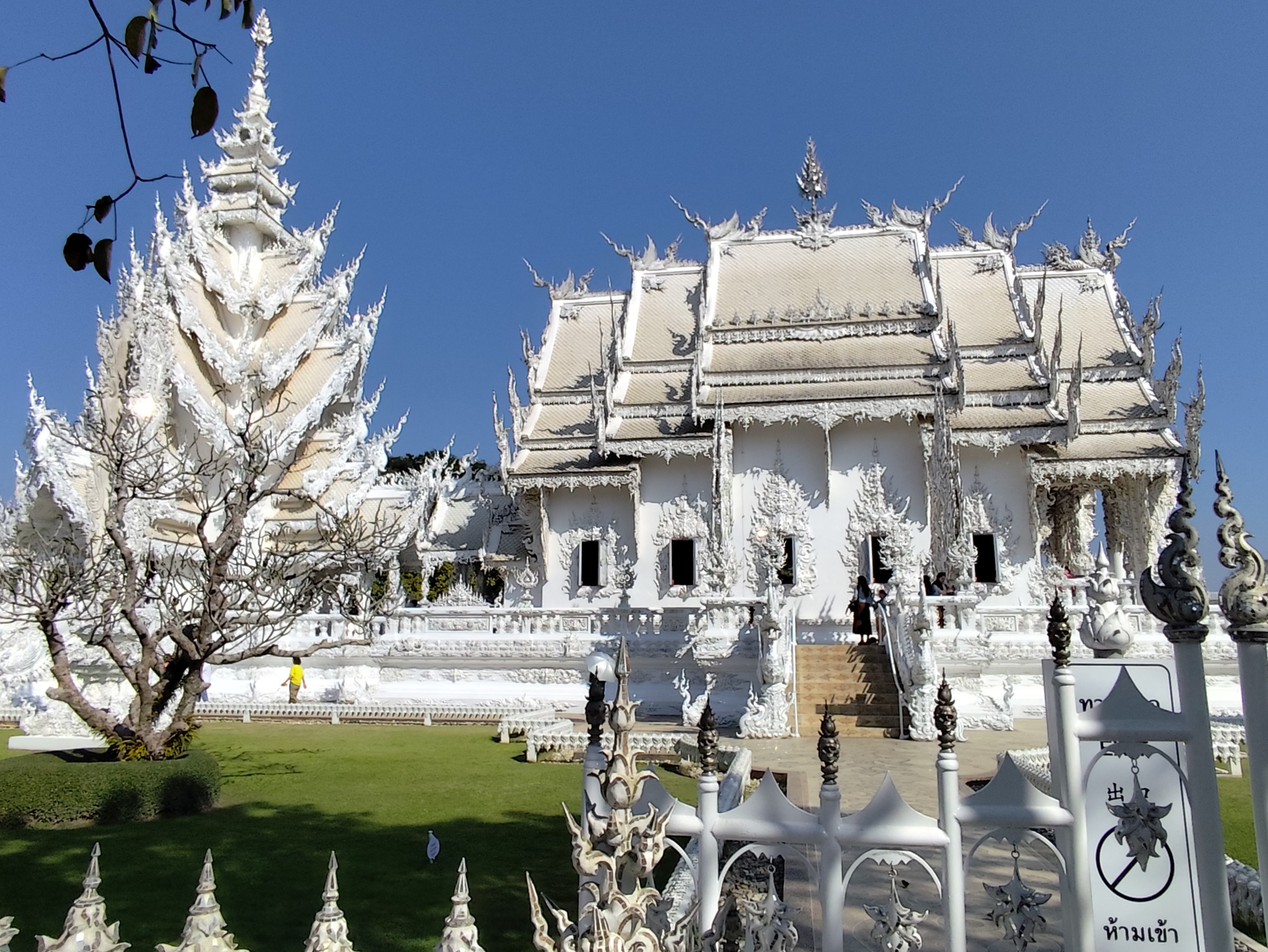
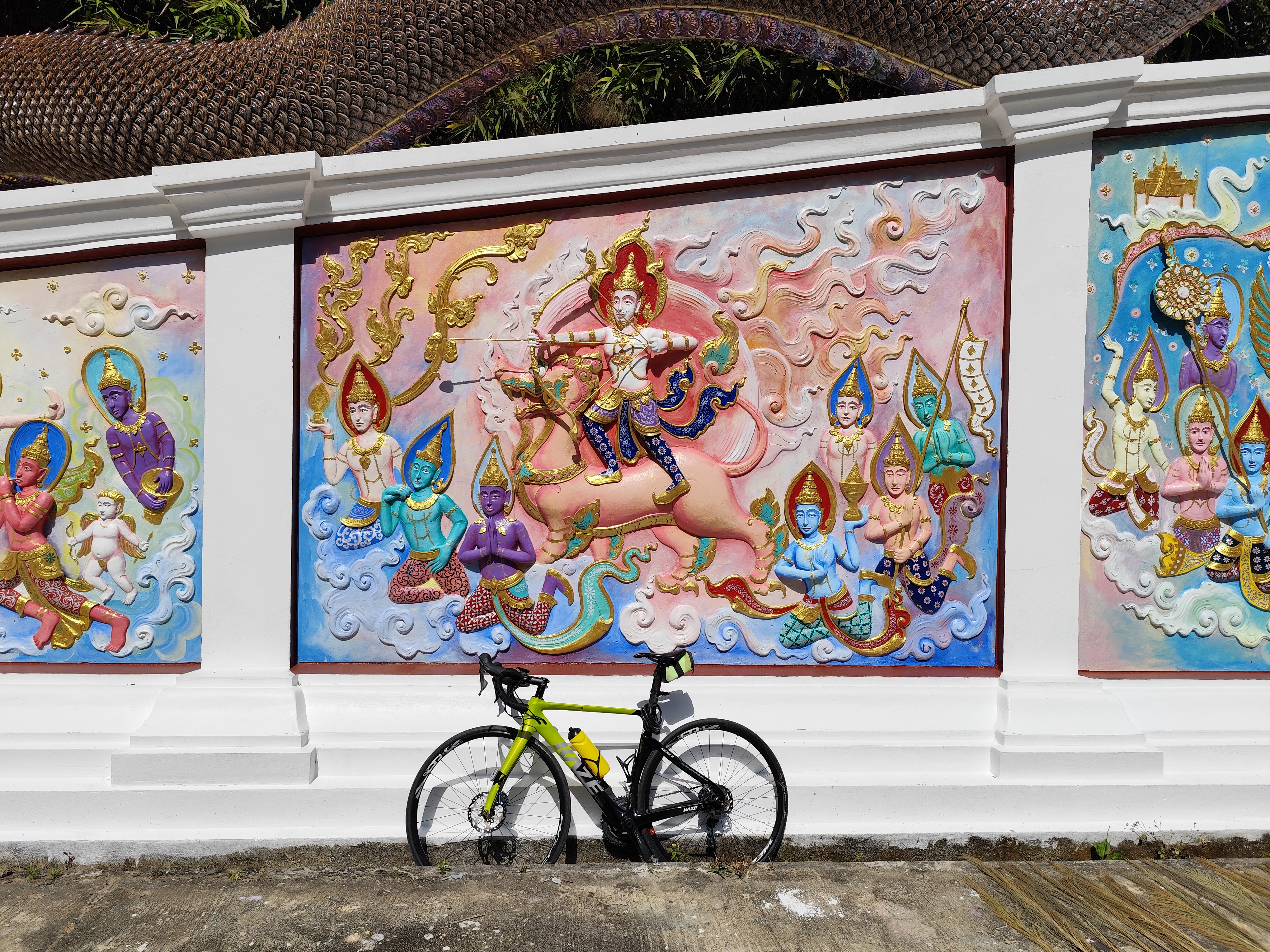
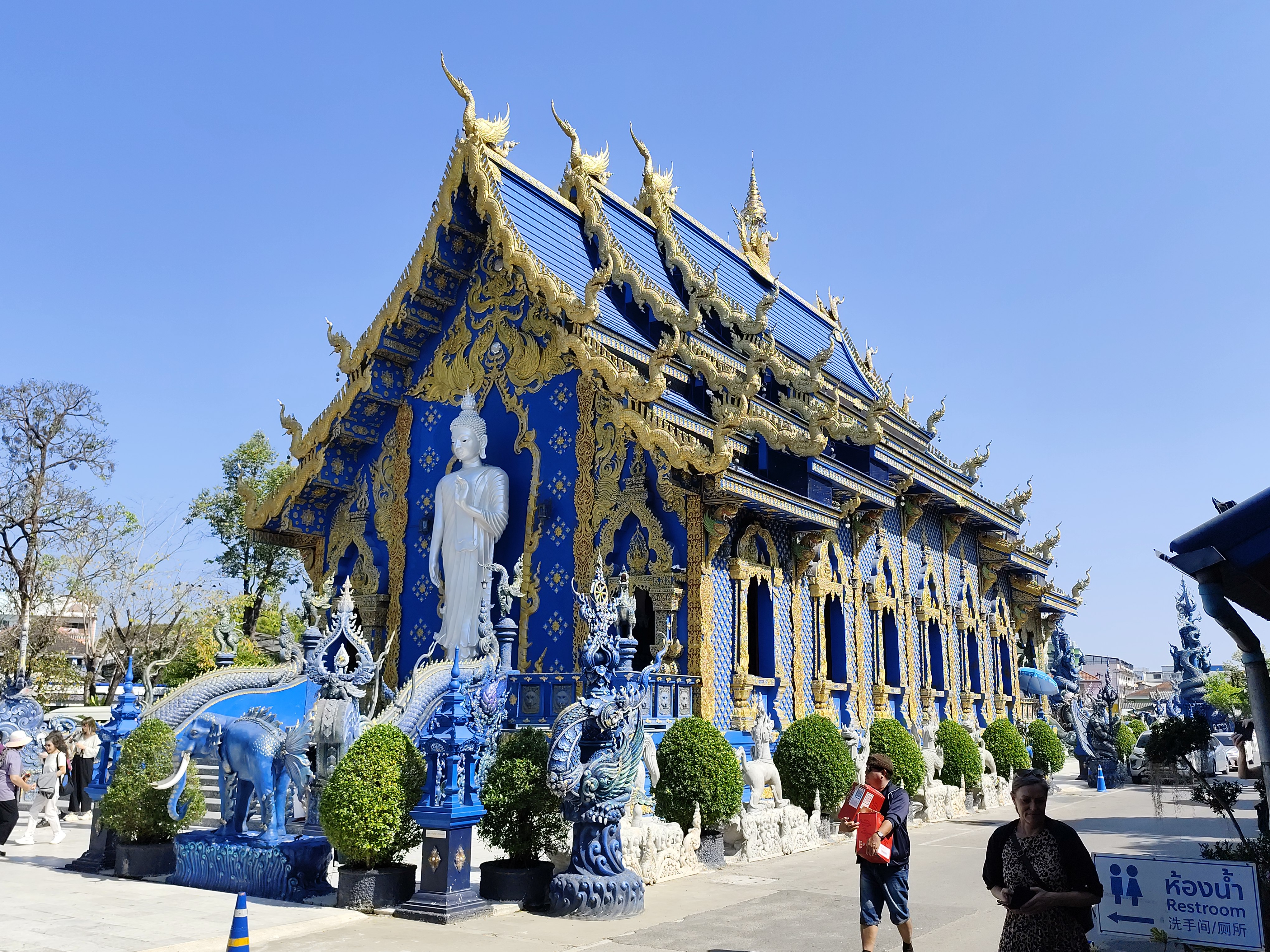
Blue Temple, Chiang Rai Wat-Rong Kun White Temple
Winter, or the northeast monsoon, lasts from mid-October to mid-February.
Most of Thailand experiences dry weather with moderate temperatures.
Summer, or the pre-monsoon season, lasts from mid-February to mid-May.
Due to its inland location and latitude, the north, northeast, central, and eastern parts of Thailand experience a long period of warm weather, with temperatures reaching 40°C (104°F) from March to May. This contrasts with winter, when temperatures in some areas drop close to 0°C (32°F) or below.
Best Time: The cool season, from November to February, offers the most pleasant weather with cooler temperatures and less rainfall. So, December, January, and February are the best months, with temperatures as low as 15°C and as high as 32°C.
https://www.climatestotravel.com/climate/thailand/chiang-mairain
THB (฿) The Thai baht is worth about 12 Hungarian forints, 1 US dollar is 30 baht, and 1 euro is 35 baht.
When entering Thailand, you must have sufficient cash, equivalent to at least 20,000 baht (500 euros) per person.
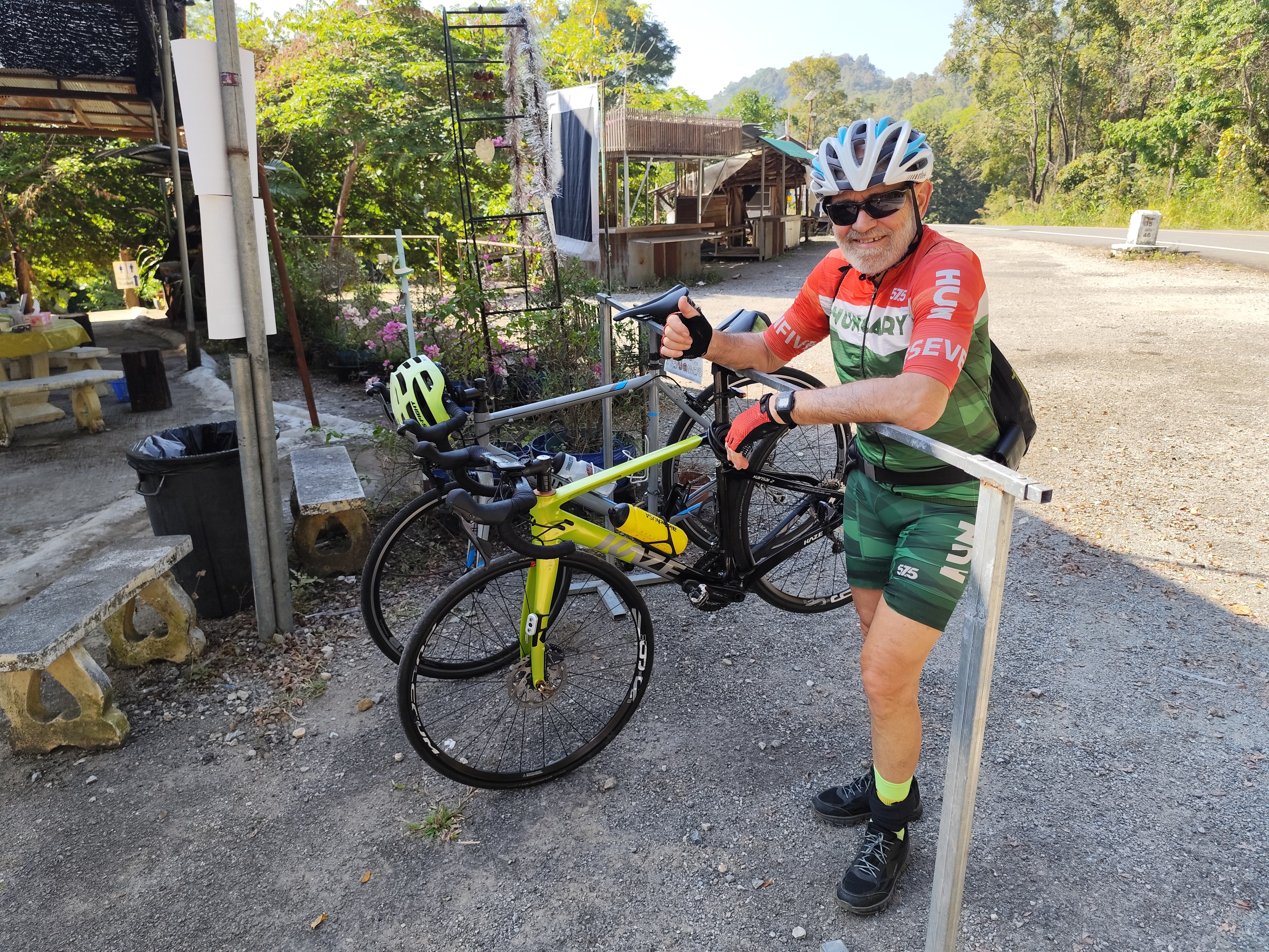
I had rented a road bicycle at Chiangmaicyclingbuddies
Budapest-Bangkok-AyutthayaChiang Mai-Bangkok-Budapest travel schedule from Jan.10th to 31st
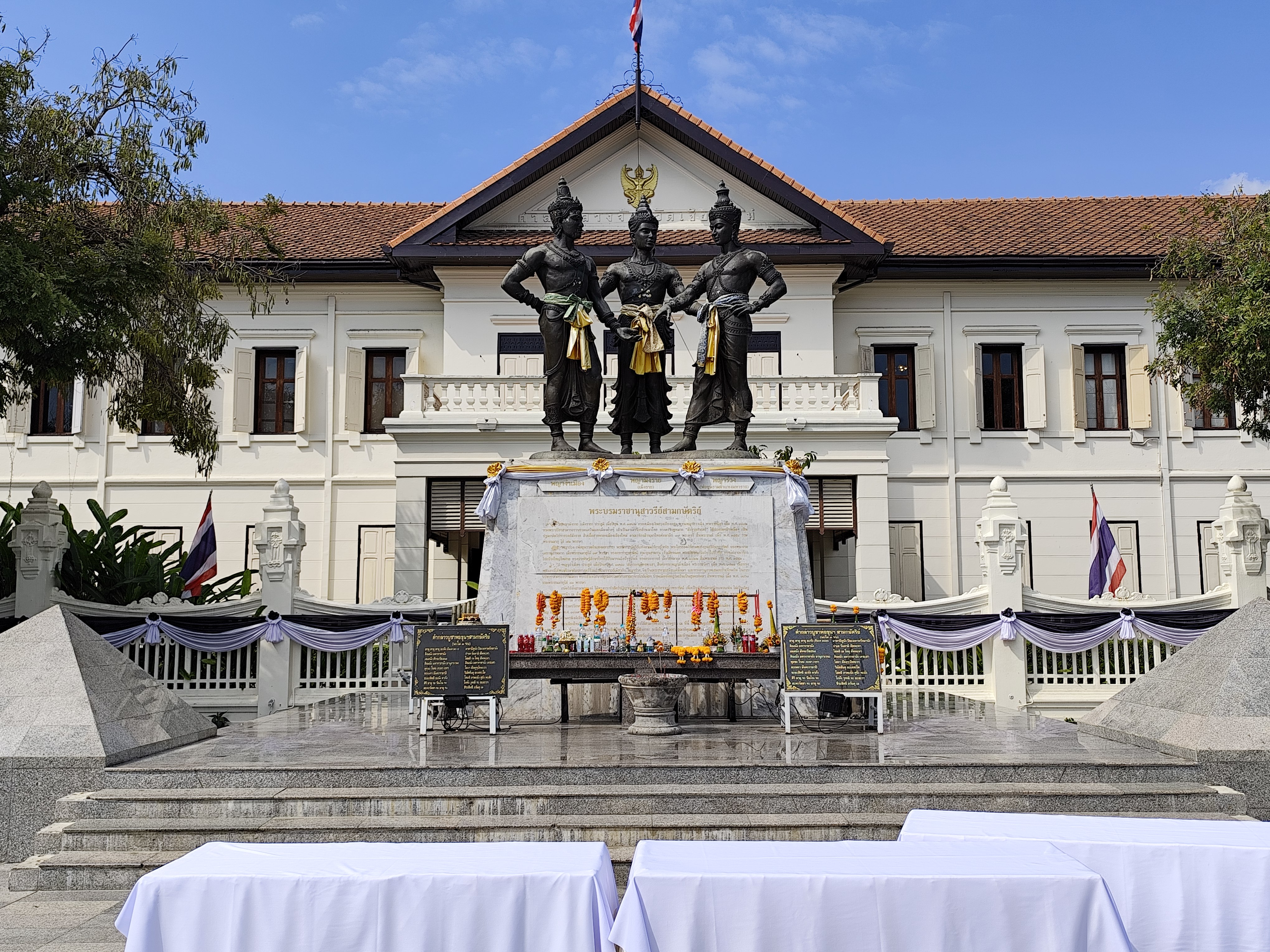
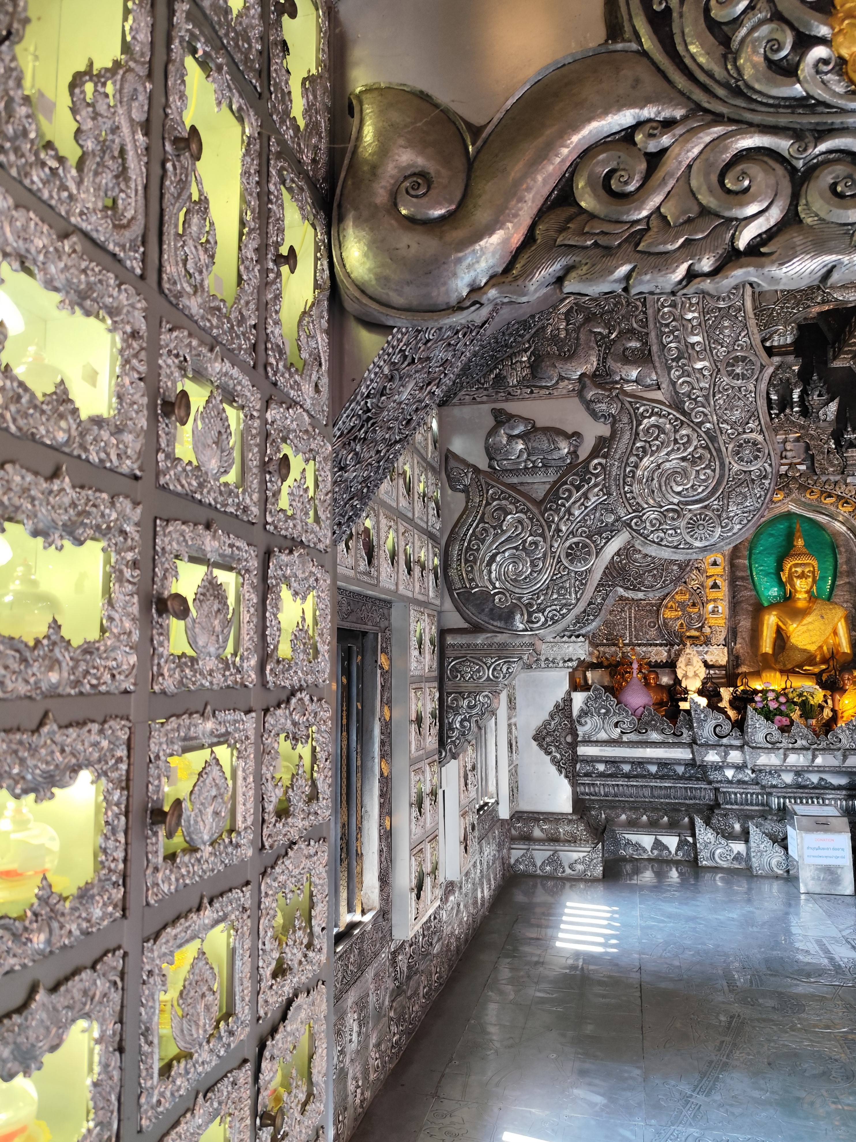
Wat Chiang Man Three Kings Monument Mangrai, Ramkhamhaeng, and Ngam Mueang Silver Temple
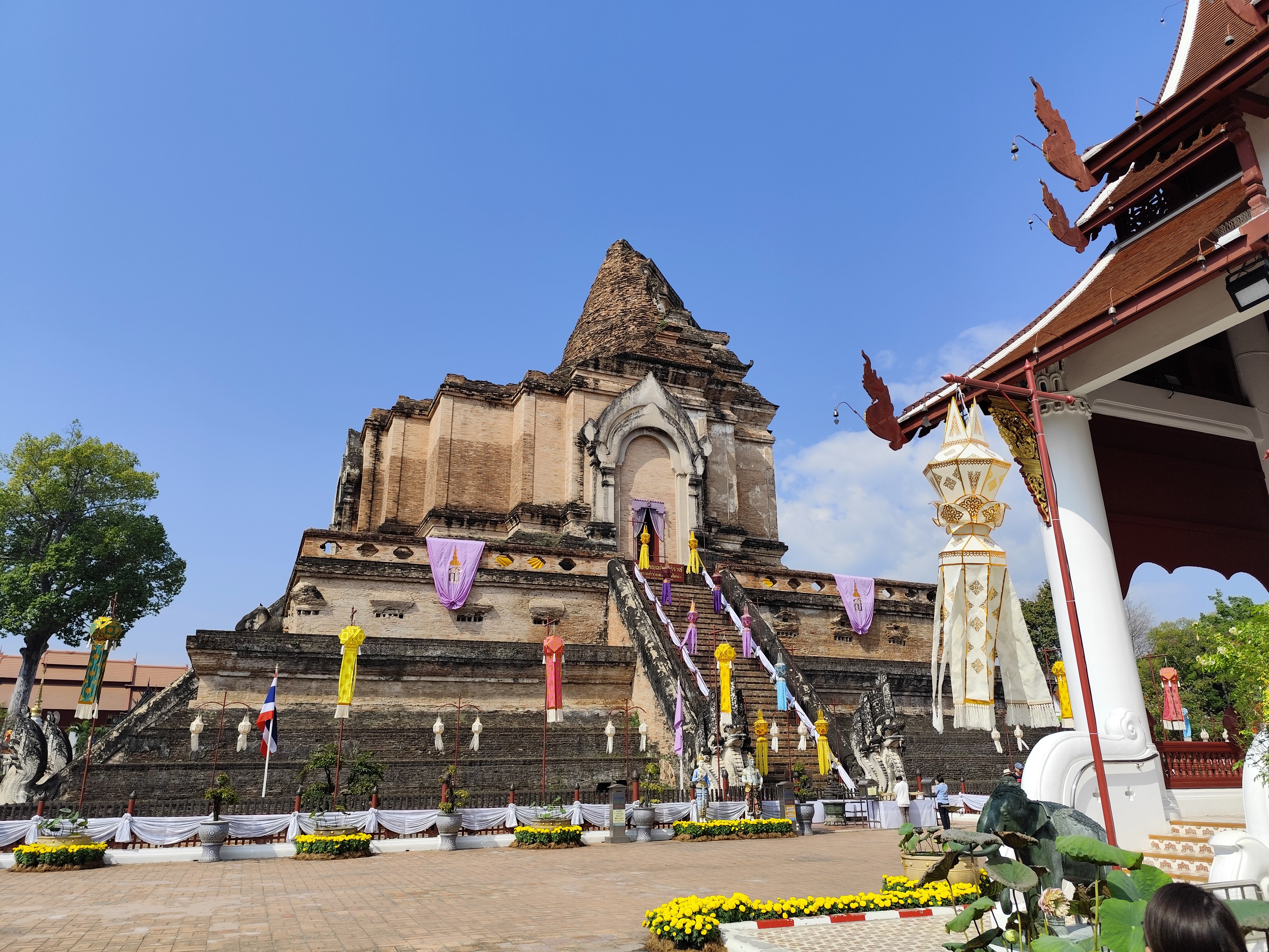
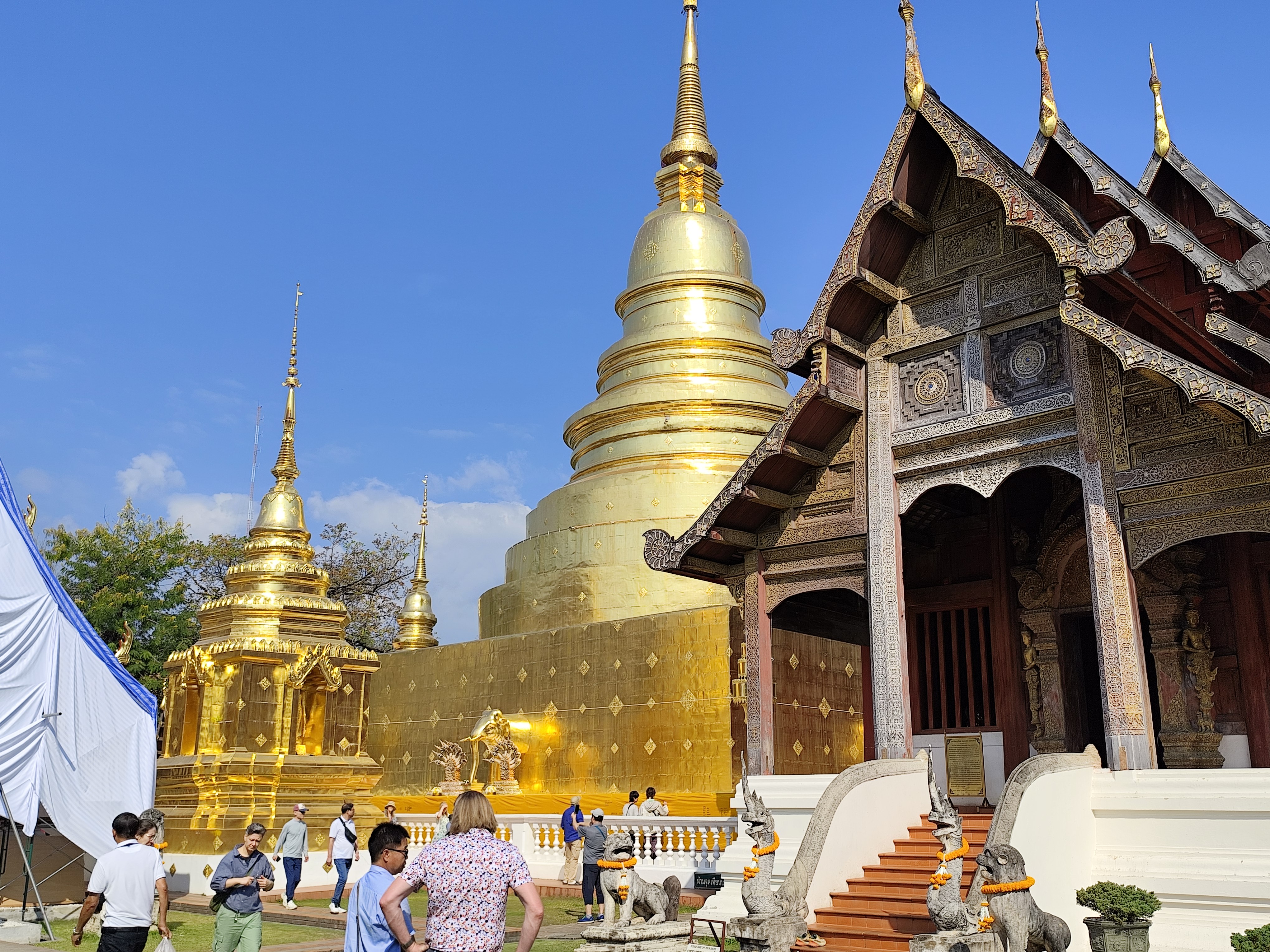
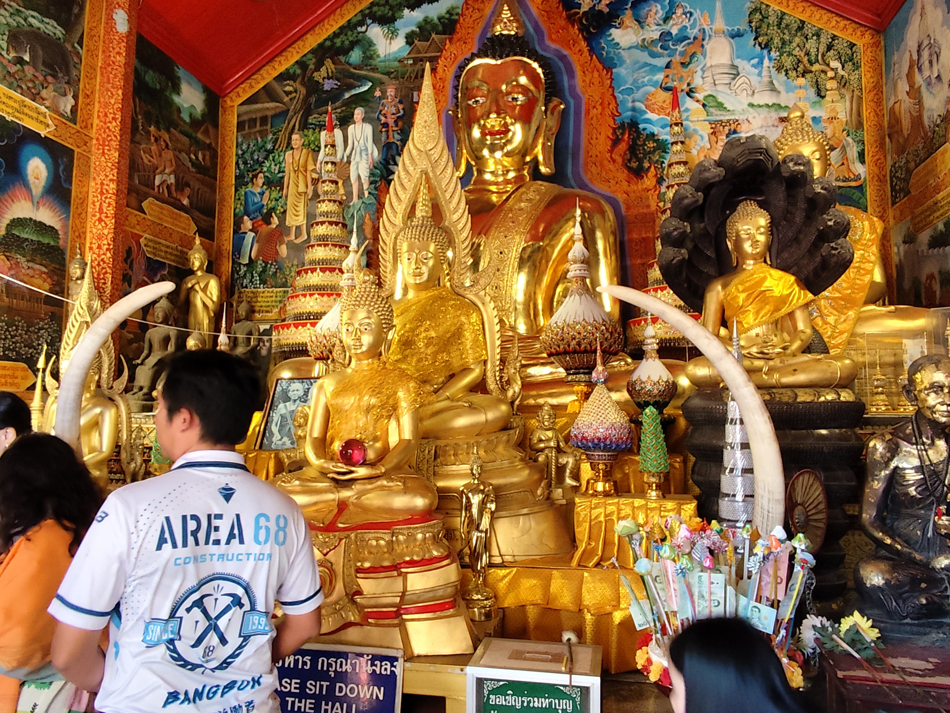
Wat Phra That Doi Suthep, Chiang Mai
The journey from Budapest to Chiang Mai takes 3 days.
Day 1 in Chiang Mai Jan. 13th
Renting a bicycle at Chiangmaicyclingbuddy, renting a car in Chiang Mai Gondal rent
>> 16km, Booked rooms in Napatra hotel
Day 2 Jan.14th
1992 - Than Peng Leng*
815m, Ban Phan Doc 344m 18.73869, 98.88951, DOL 471m
DOL = level difference 15.7 km, 3 -12.1%,
Energy points 429, 2.5 hours cycling
Than Peng Leng climbing route
Day 3 Jan.15th
 >>> 37km,1h, Rd 118>>3005 >>>4063 autózás/driving from Chiang Mai
2218 - Doi Chai Daen
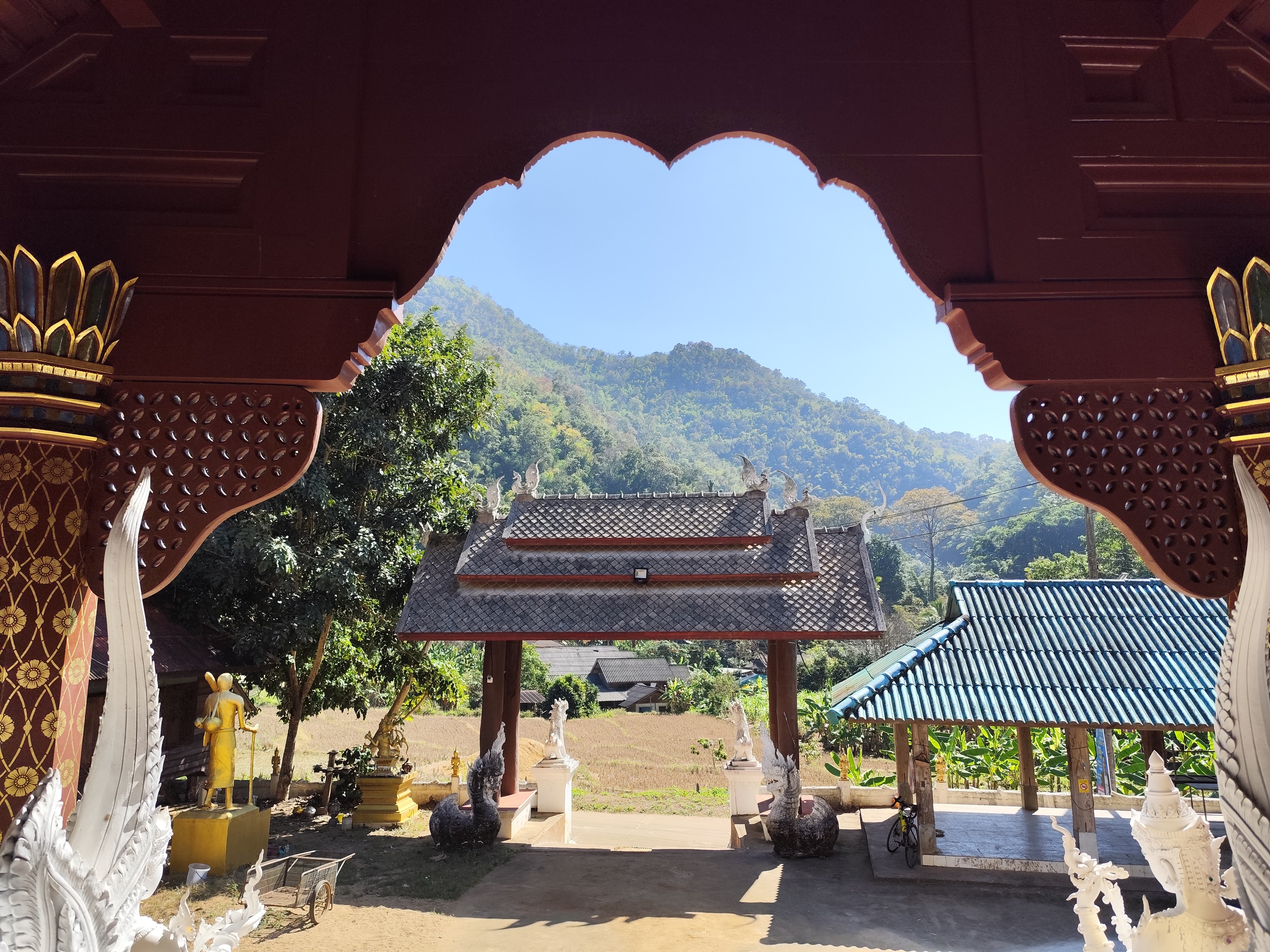
Wat Pan Hai buddhist temple
1502m ,18.93748 , 99.38571 , Ban Din Dan Doon 513m 18.89576 , 99.26174 , DOL 989m , 18.6 km , 5.3-16.9 % , Energy points 915 ,
Doi Chai Daen climbing route Kingkong Smile Zipline adventure park Doi Chai Daen climbing route
Wat Pang Hai buddhist temple
Day 4/ Jan.16th
>> 6.7 km
 1921 - Doi Suthep
, 1386 m , 18.80482 , 98.8975 Chiang Mai Zoo ~360m,18.810632, 98.947862 , DOL 1030 m , 16 km, 6,4%- ? Doi Suthep útvonal , Huay Keaw Waterfall , น้ำตกห้วยแก้ว near the Zoo, Kruba Srivichai Monument อนุสาวรีย์ครูบาศรีวิชัย , Wat Sri Soda Phra Aram Luang
วัดศรีโสดา พระอาราหลวง, Wat Pha Lat วัดผาลาด (สกิทาคามี), Meditation Point of Pha Lat Fall, Chaloem Phra Kiat Pavilion Viewpoint , จุดชมวิวศาลาเฉลิมพระเกียรติ , Kruba Srivichai Monument อนุสาวรีย์ครูบาศรีวิชัย
1921 - Doi Suthep
, 1386 m , 18.80482 , 98.8975 Chiang Mai Zoo ~360m,18.810632, 98.947862 , DOL 1030 m , 16 km, 6,4%- ? Doi Suthep útvonal , Huay Keaw Waterfall , น้ำตกห้วยแก้ว near the Zoo, Kruba Srivichai Monument อนุสาวรีย์ครูบาศรีวิชัย , Wat Sri Soda Phra Aram Luang
วัดศรีโสดา พระอาราหลวง, Wat Pha Lat วัดผาลาด (สกิทาคามี), Meditation Point of Pha Lat Fall, Chaloem Phra Kiat Pavilion Viewpoint , จุดชมวิวศาลาเฉลิมพระเกียรติ , Kruba Srivichai Monument อนุสาวรีย์ครูบาศรีวิชัย
climbing route :2223 - Doi Huai Chok
Day 5/ Jan. 17th
>> 6.7 km
2216 - Doi Pui
1582 m
, 349m 18.81039, 98.94994, DOL 1233m !!!
, 18.7 km, 6.6–11.8%, 1016 energy points, Wat Phra That Doi Suthep, the most important Buddhist temple in Chiang Mai province
5.5 hours cycling Doi Pui climbing route
Day 6 / Jan.18th
Diarrhea, one day break
Day 7 / Jan.19th
2223 - Doi Huai Chok* 951 m, 18.83759 , 98.78222 watershed ,
Ban Mae Khamin Lua 540m 18.79962 , 98.79521 , DOL 411m , 5.4 km , 7.6-16.3 % , Energy
points 461 ,
Doi Huai Chok climbing route
Wat Thong Siri buddhist temple
Day 8 / Jan.20th
Chiang Mai >> 52 km, 1.1 hours driving northeast.
2217 - Doi Mae Na Huai
1498 m, Ban Huai Kaew 561 m 18.85853, 99.27346,
DOL 937 m, 14.2 km, 6.6 -22.6%, 1061 energy points, 3.5 hours cycling
Day 9 / Jan.21st
>>> 31 km /0,9 h driving
2224-Doi Wat Nong Gai
1089 m
, San Pa Yang 357 m, 19.02279, 98.87448, DOL 732 m , 19 km, 3.9–13.2%,
825 food stations, 3.5 h cycling, Wat Phra Putthabat Si Roi buddhist monastery, halfway to the summit
click in to start Wat Phra Putthabat Si Roi VIDEO !
Day 10 / Jan.22nd
accommodation: หลับสบายที่ดอยตุง Zuh meh ja Home lodge, 48 หมู่ 6 ตำบลแม่ฟ้าหลวง, 57240 Ban Pa Kluai La Hu, Thaiföld ,
Wat Rong Kun White Temple 1 Highway 1028 Road, Tambon Pa O Don Chai, Amphoe Mueang Chiang Rai, Chang Wat Chiang Rai 57000, Ha Sib tóttól északra ,
Pa O Don Chai, Mueang District, Chiang Rai province 1997 , Wat Rong Suea Ten (Blue Temple) Maekok Rd,Rimkok Subdistrict 19°55′24″N 99°50′30″E, Mueang District, Wat Rong Suea Ten ,
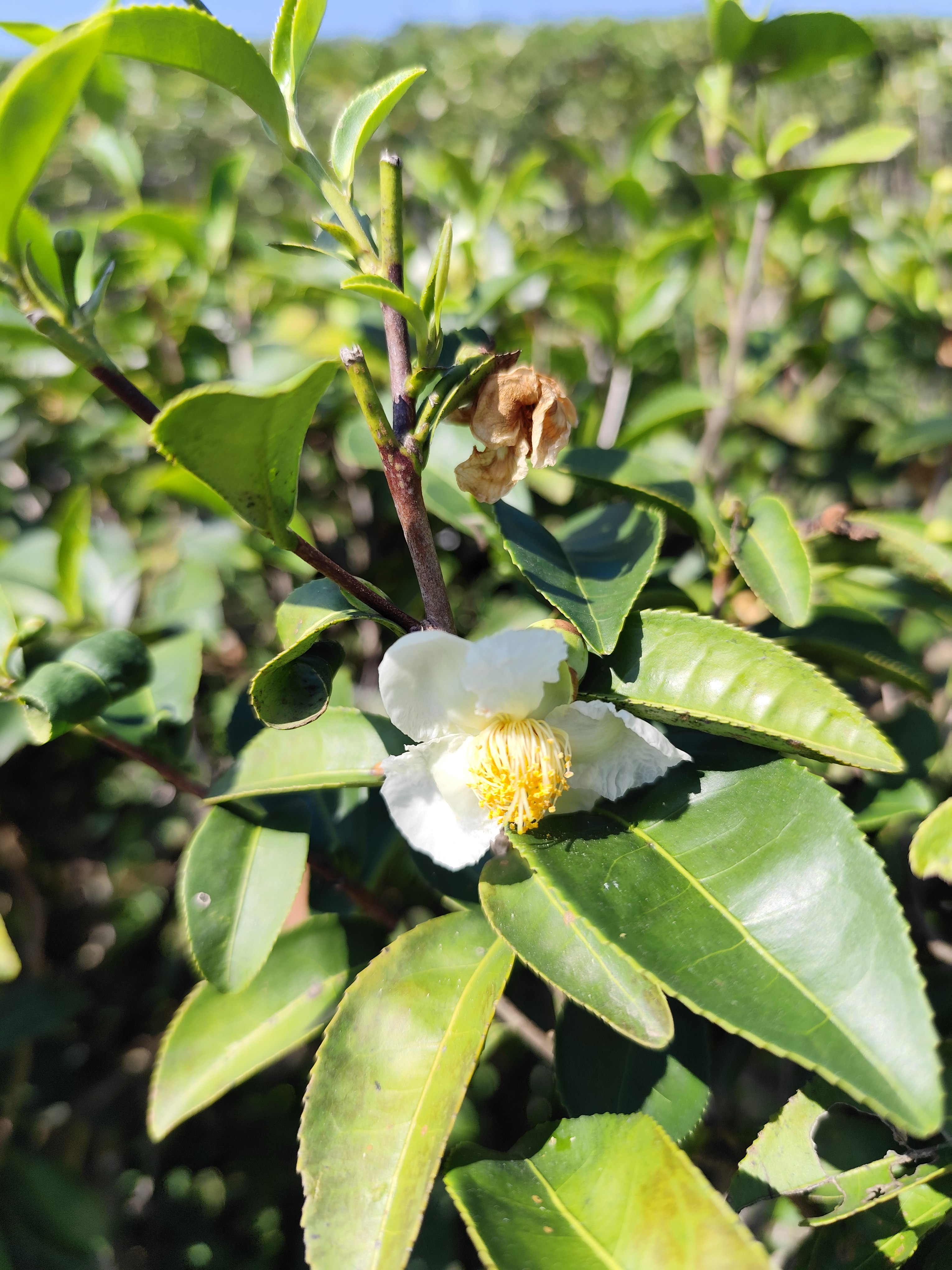
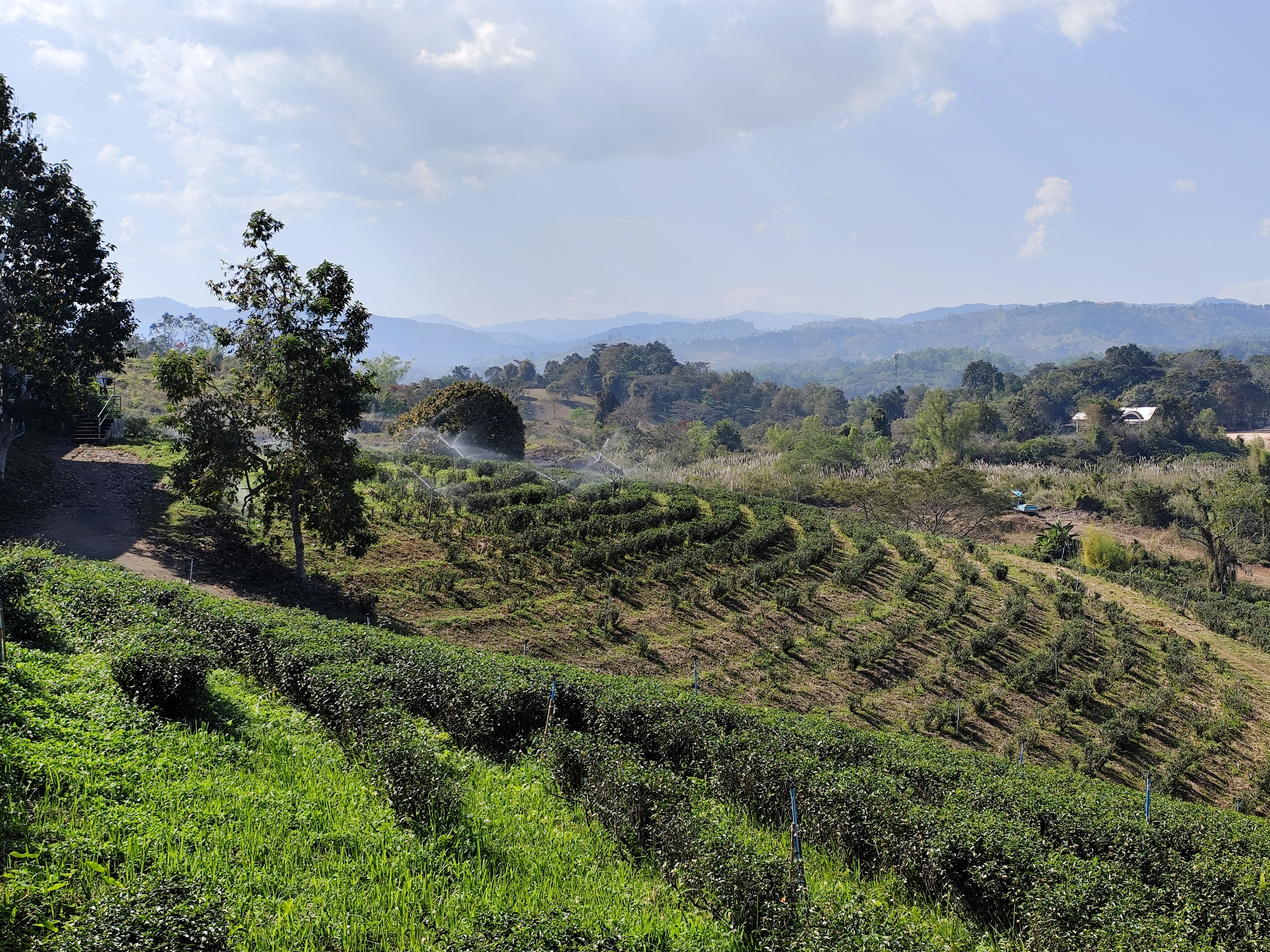
Choui Fong Tea Plantage
1993 - Doi Tung
979 m
, Mae Chan 407 m 20.25278, 99.85655, DOL 572,
15.4 km, 3.7-12.6%, EP 467, border of the Mekong River with Laos,
Wat Pa Sak (Thai: วัดป่าสัก, "Temple of the Teak Forest") - a wat (Buddhist temple-monastery in the village of Khum Khanap Kheng near the Mekong River, Wat Pa Sak Noi, Wat Doi Champi) Doi Tung climbing route
Day 11 / Jan.23rd
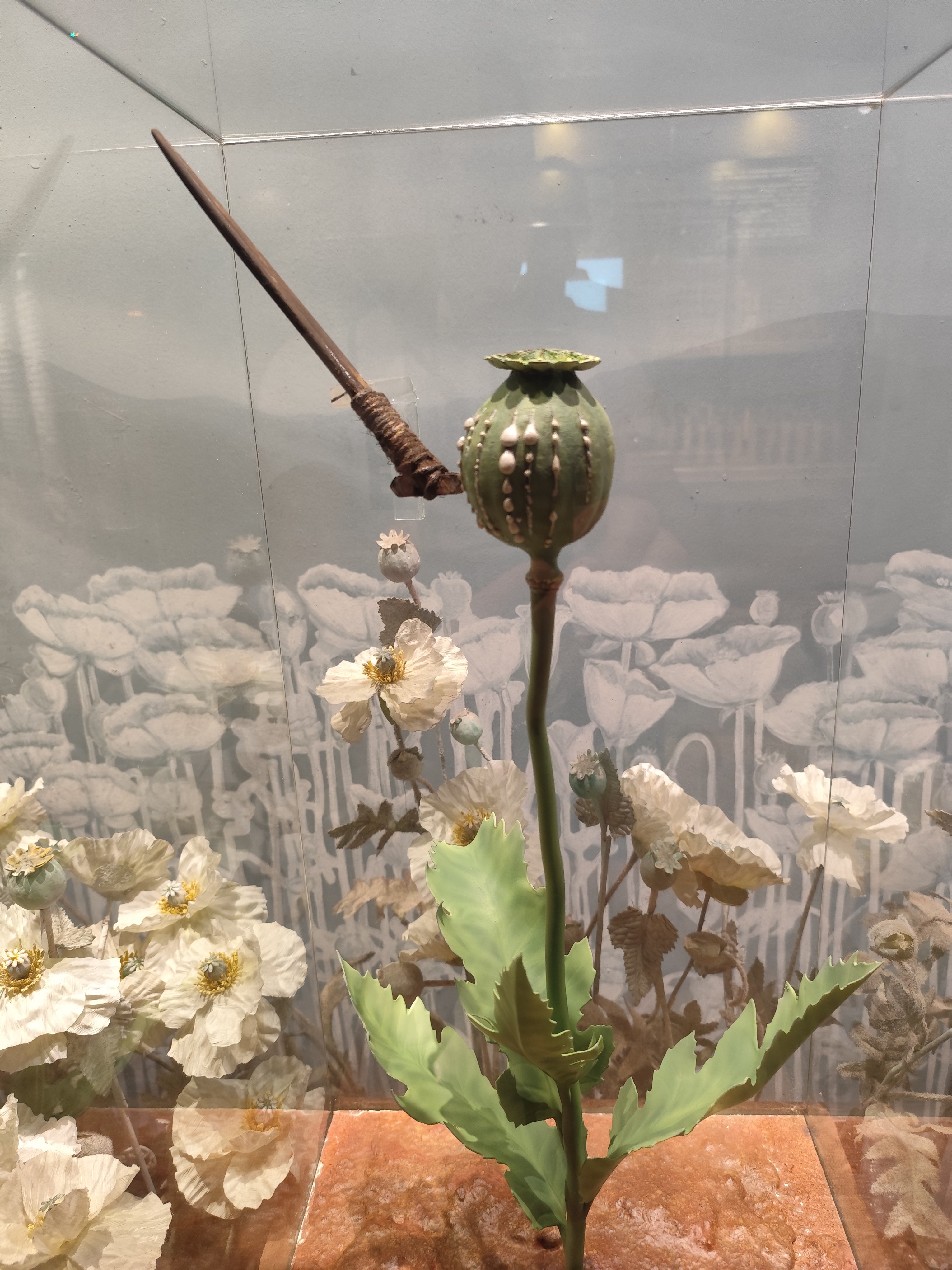
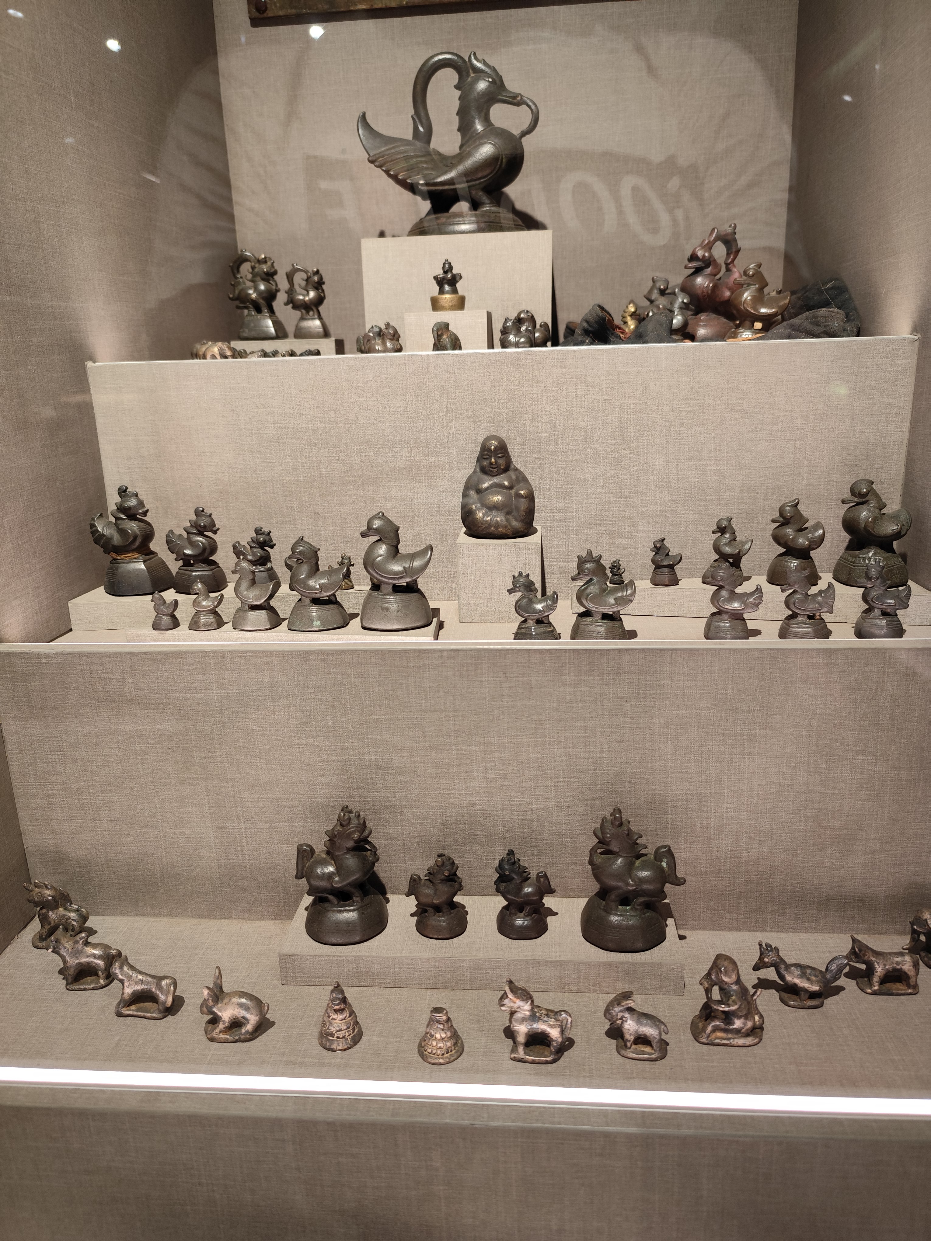
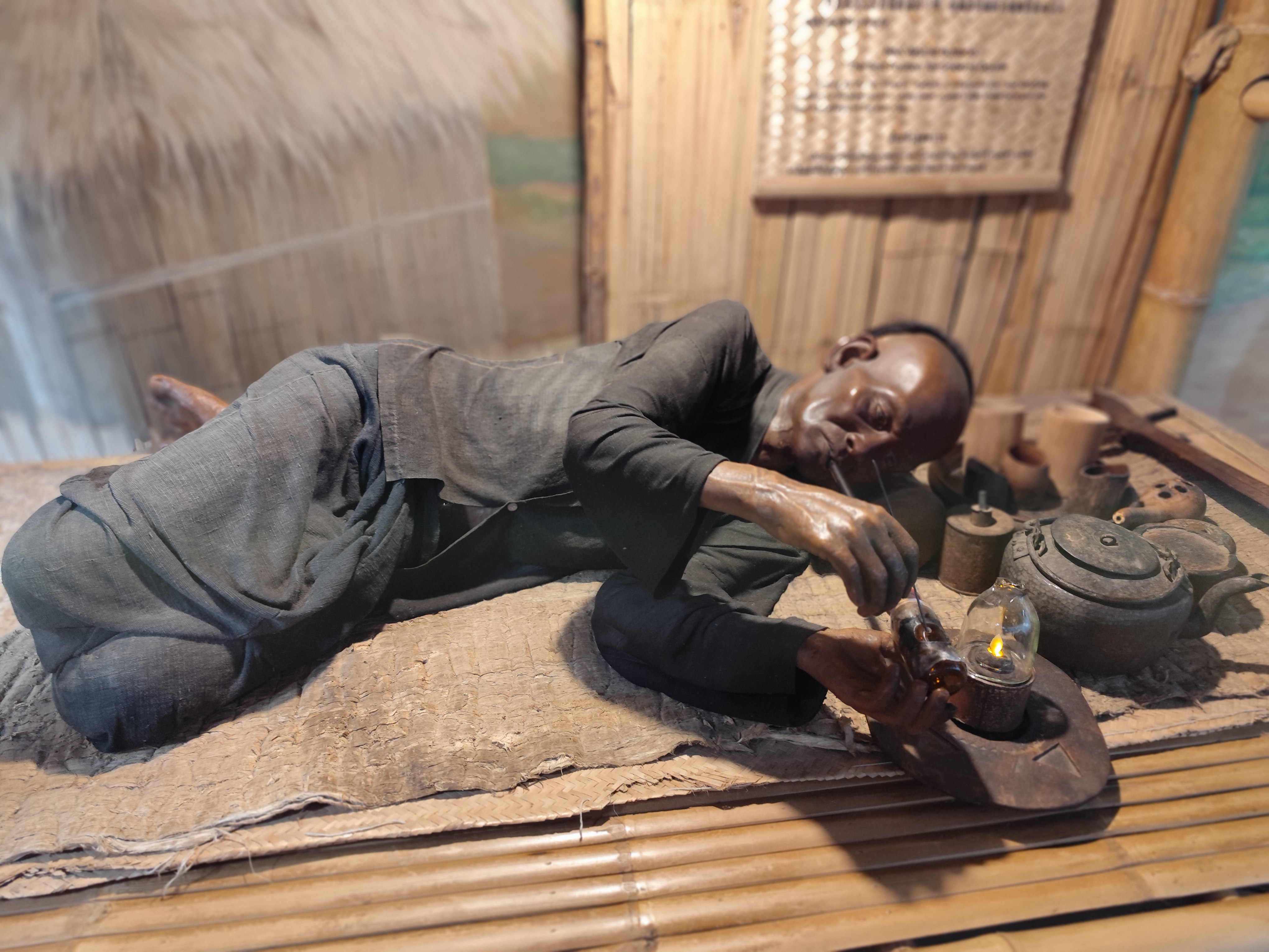
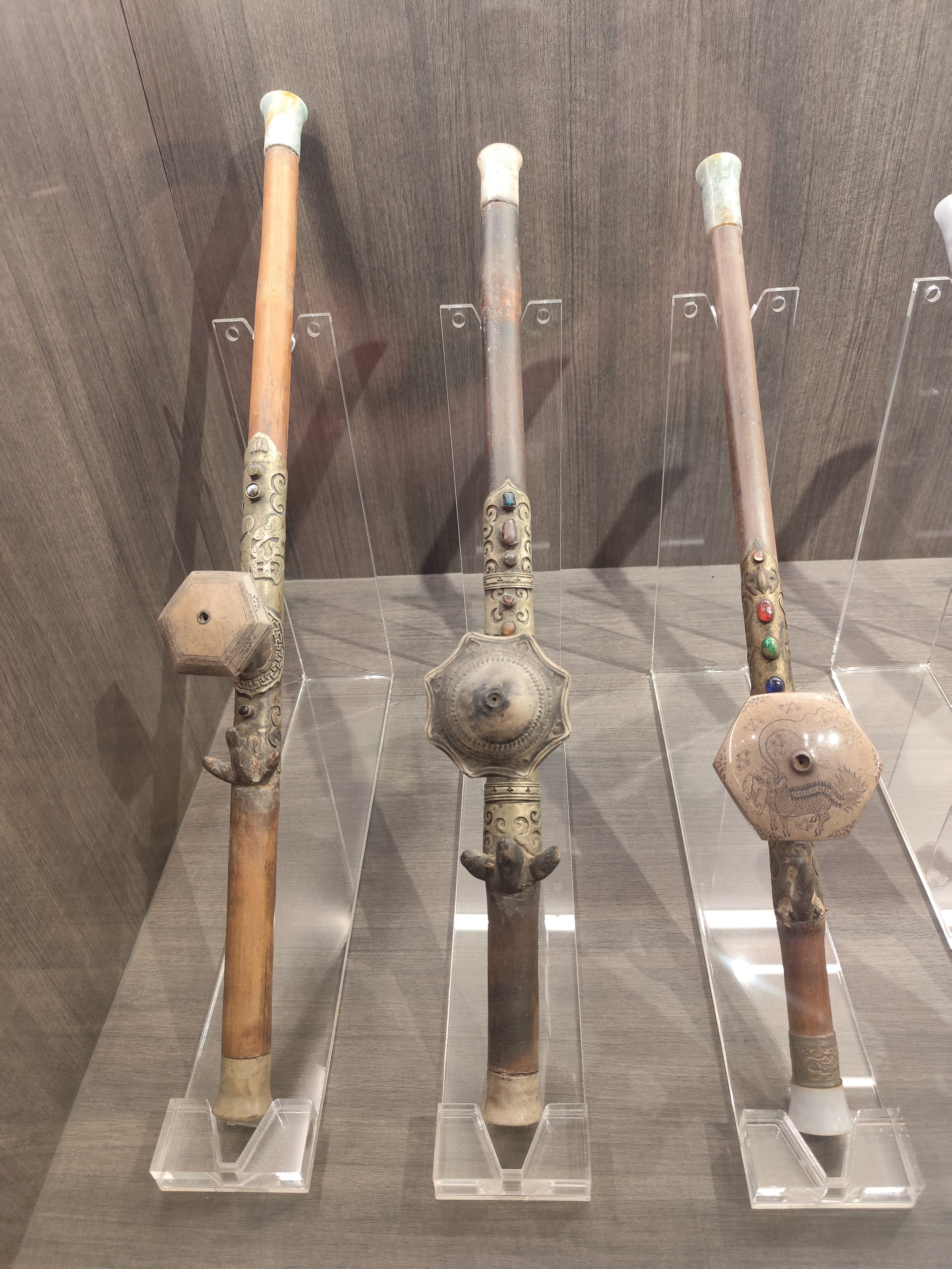
Opium museum : poppy, scale weights, opium pipe smoking , opium pipes,
video
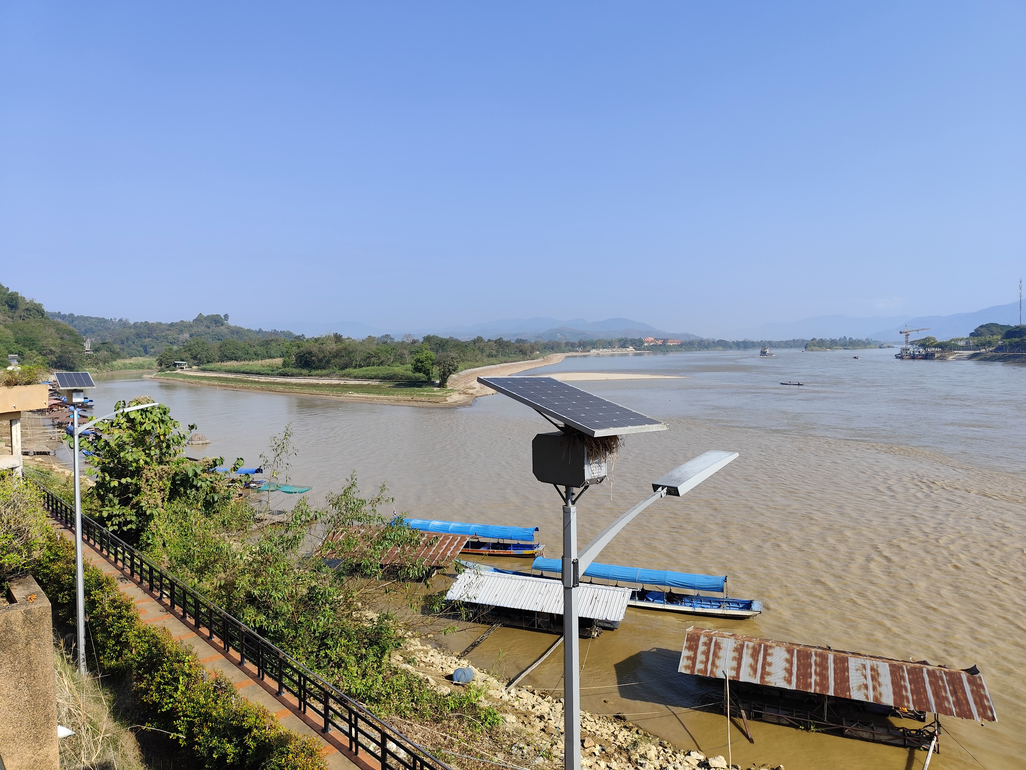
travelling to Golden Triangle
border Mianmar,Laos, Thailand VIDEO:Tung Luang Chaloem Phra Kiat+Golden Triangle , Opium museum
Day 12 /January 24th
1991 - Doi Samoeng
1144m , 18.87589 , 98.77988 , Mae Rim 343m 18.92232 , 98.92373 , DOL 801m ,20.5 km , 3.9 -12.5 % , Energy points 720 , Di Mi Waterfall (small) น้ำตกดีหมี , Mae Sa Noi Fall (small) น้ำตกแม่สาน้อย
accommodation in Mae Rim River Bend Villas 3 nights
Samoeng 1144 m, climbing route
Days 13 /January 25th
Mae Rim
2222 - Mon Cham
1297 m
Mae Rim
 DOL 952 m! , 22.9 km, 4.2–15.3%, 986 energy points, VIDEO:Tak Mok Waterfall
on halfway
Mon Cham climbing route
Days 14 /January 26th
2215 - Doi Ban Pan Hai
966m, 18.95447 , 98.79487 ,
Mae Rim 345m 18.91848 , 98.91306 , DOL 621m , 17.2 km , 3.6 -15.9 % , Energy points 652,
Doi Ban Pan Hai climbing route Rd 4043
at start point Siam Insect Zoo สวนสัตว์แมลงสยาม
Wat Khiri Banpot วัดคีรีบรรพต
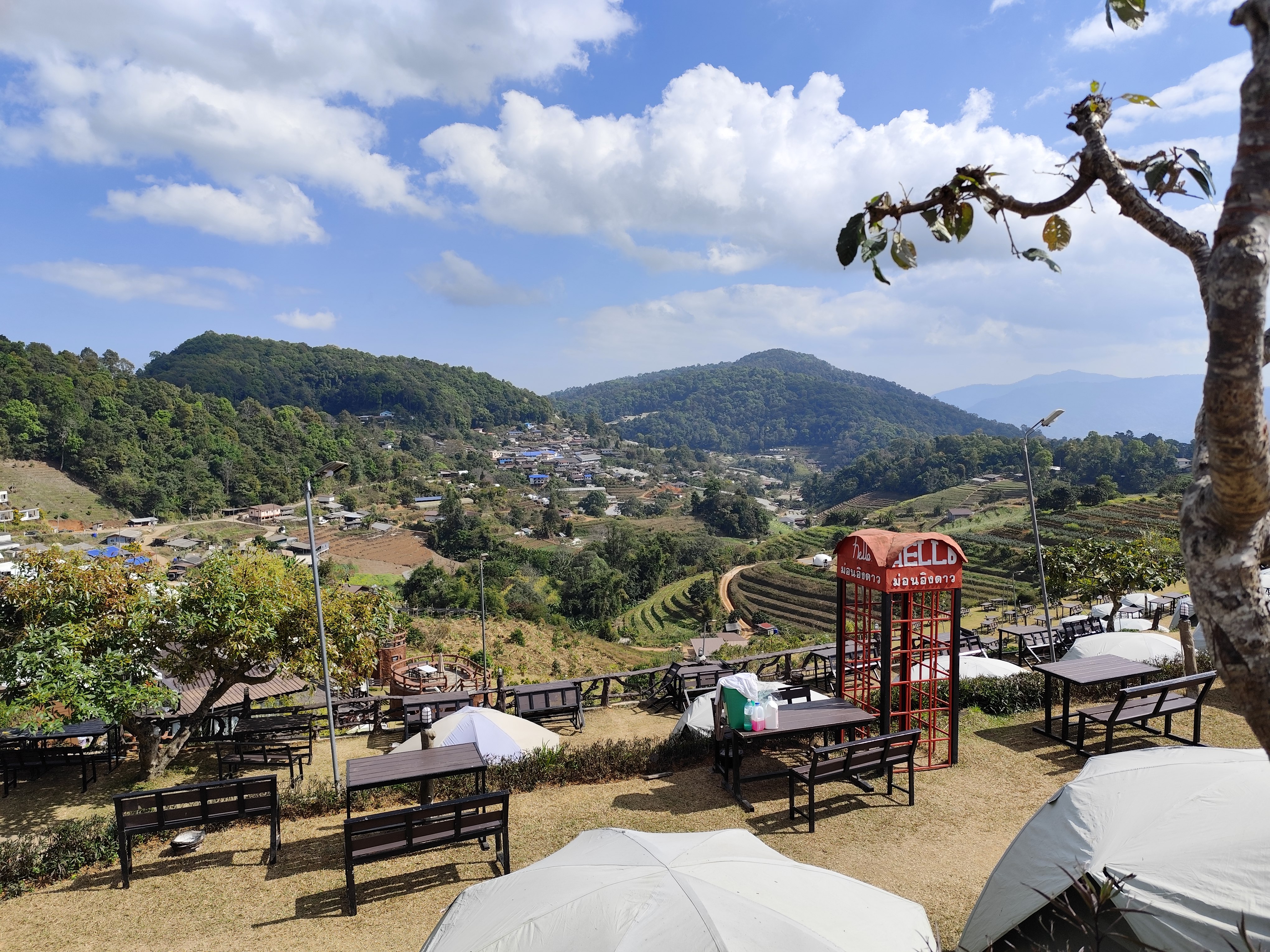
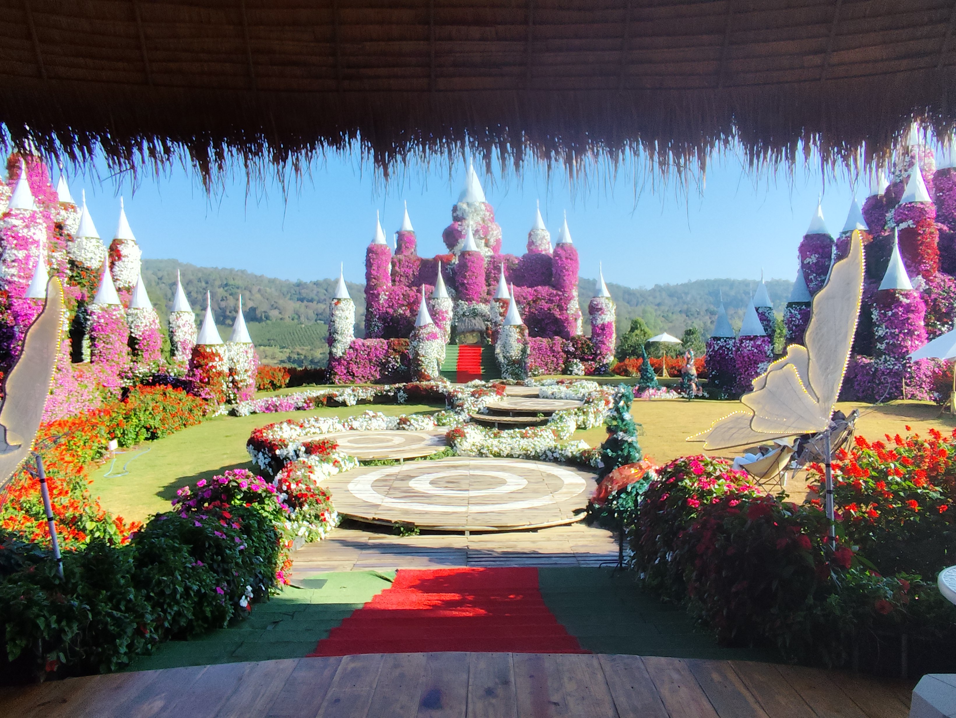
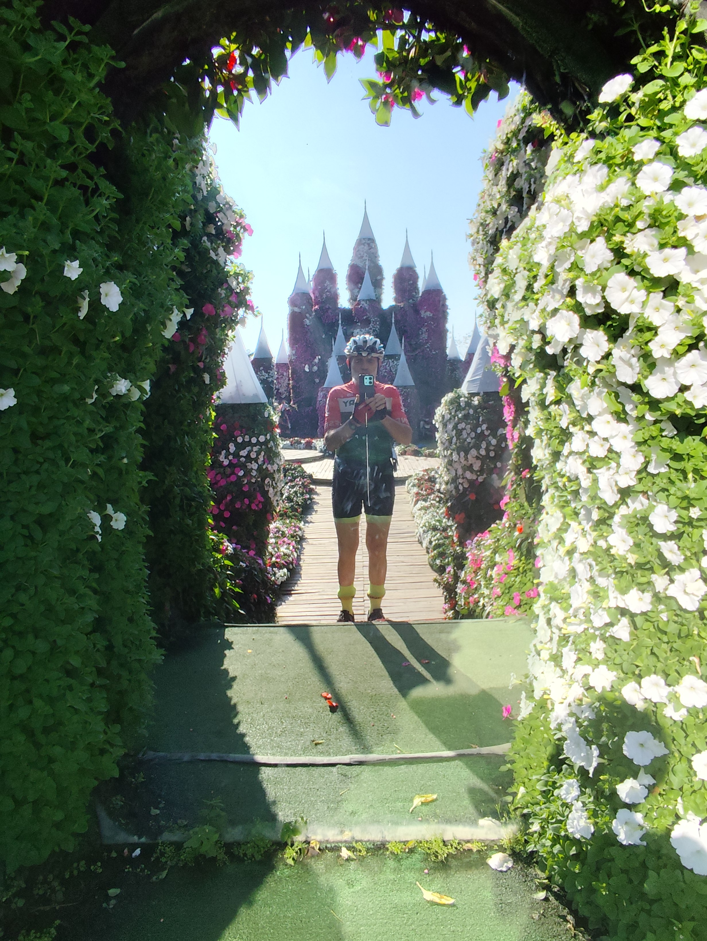
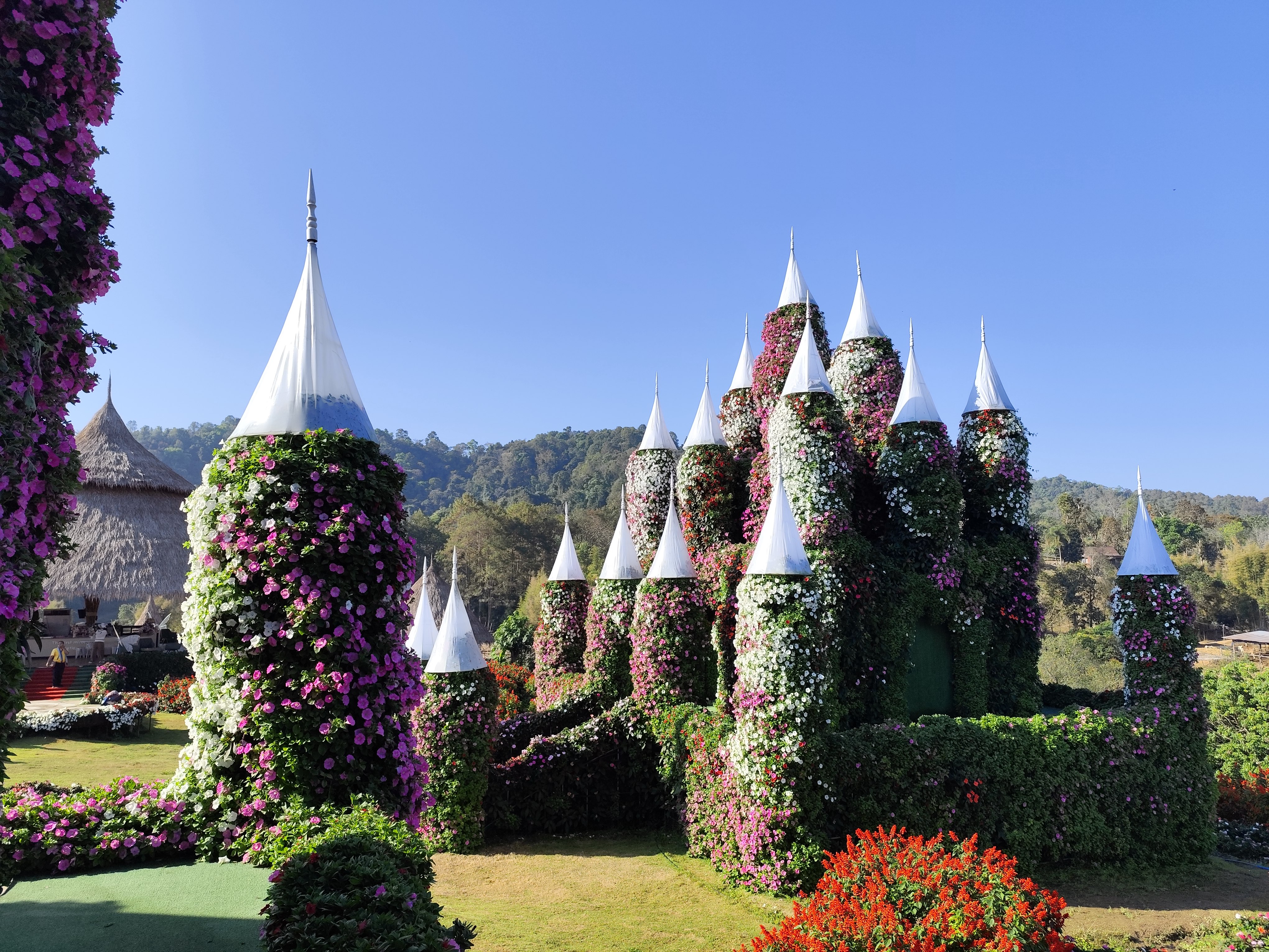
The First Miracle Flower Castle, Mon Jam ปราสาทดอกไม้ ม่อนแจ่ม
Day 15. January 27th
Mae Rim vegetable market, Bua Tong "Sticky" waterfall
Day 16. January 28th
2300 - Mae Na Ruea pass
891m ,19.06361 , 99.77252 , Phayao 409m , 19.17096 , 99.90705 ,
 DOL 482m , 28 km , DOL 482m , 28 km ,
1.8 - 5.4 % , Energy points 337 ,
útvonal Mae Na Ruea pass
>> 155 km from Phayao to Chiang Mai
on Route 1421 >118,
Doi Saket Hot Spring
Farewell to the mountains of Northern Thailand
on Mae Na Rues pass 891 m
click in to start the VIDEO !
Day 17.
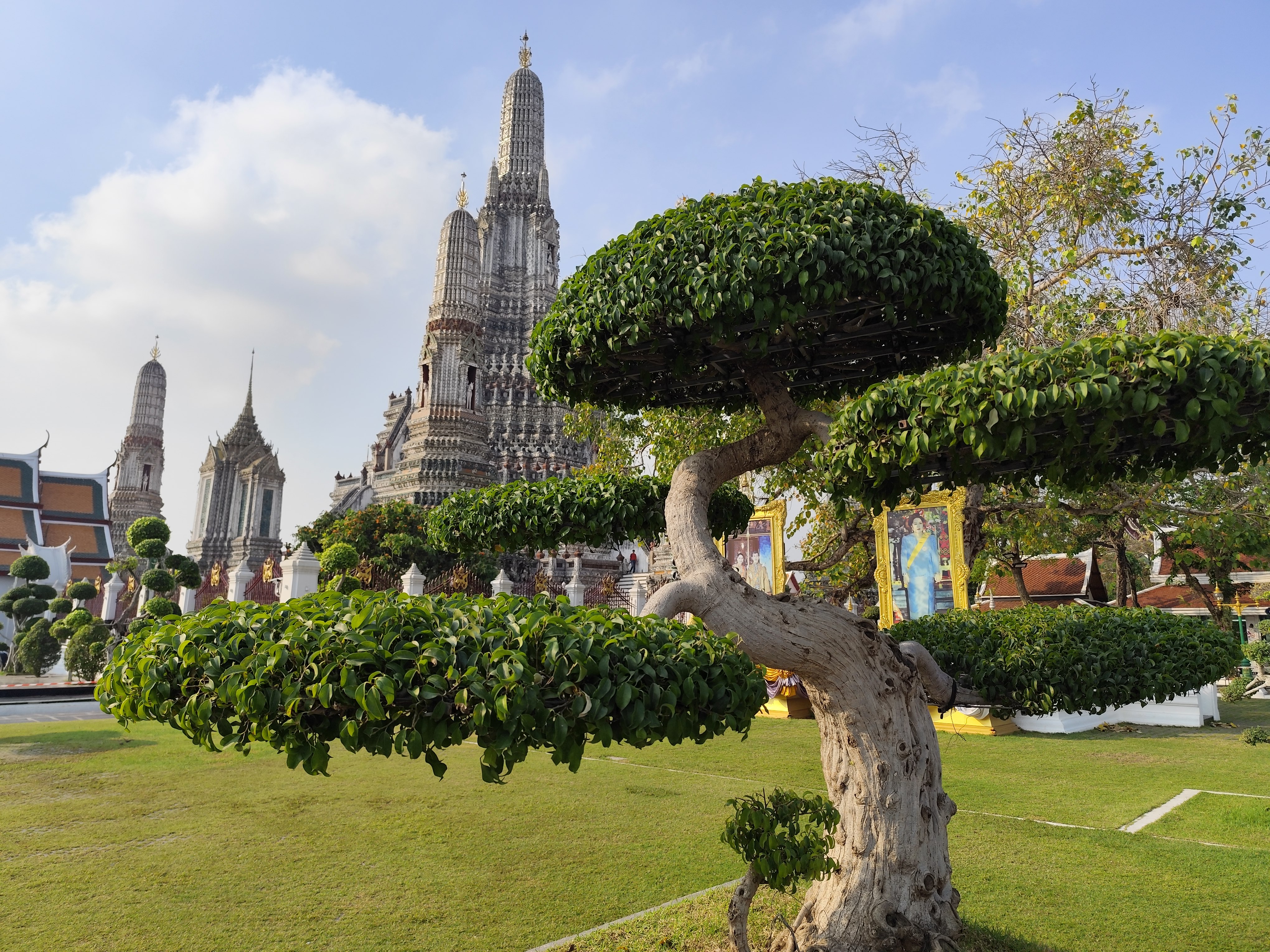
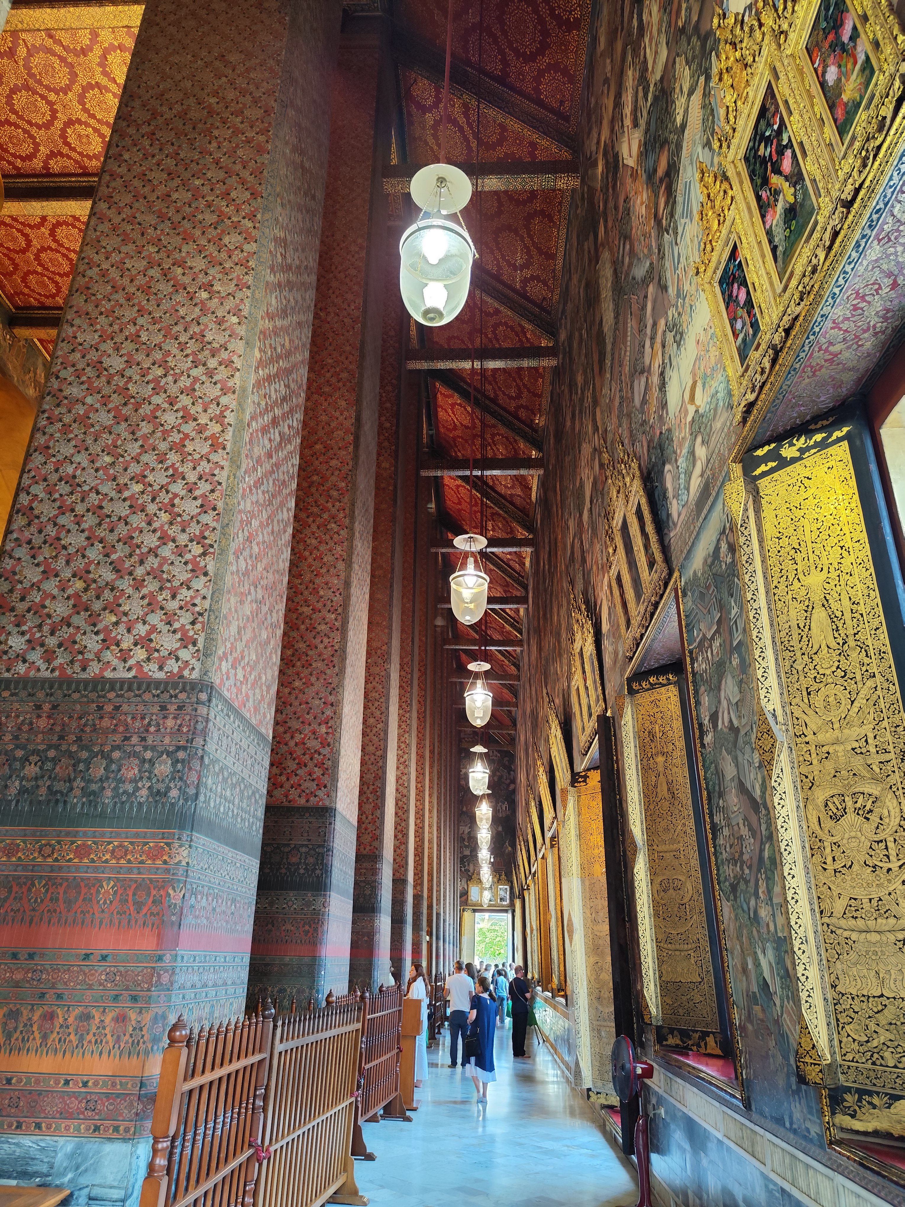
Return to Bangkok Jan.30th , sighseeing in Bangkok: Wat Arun, Wat Pho
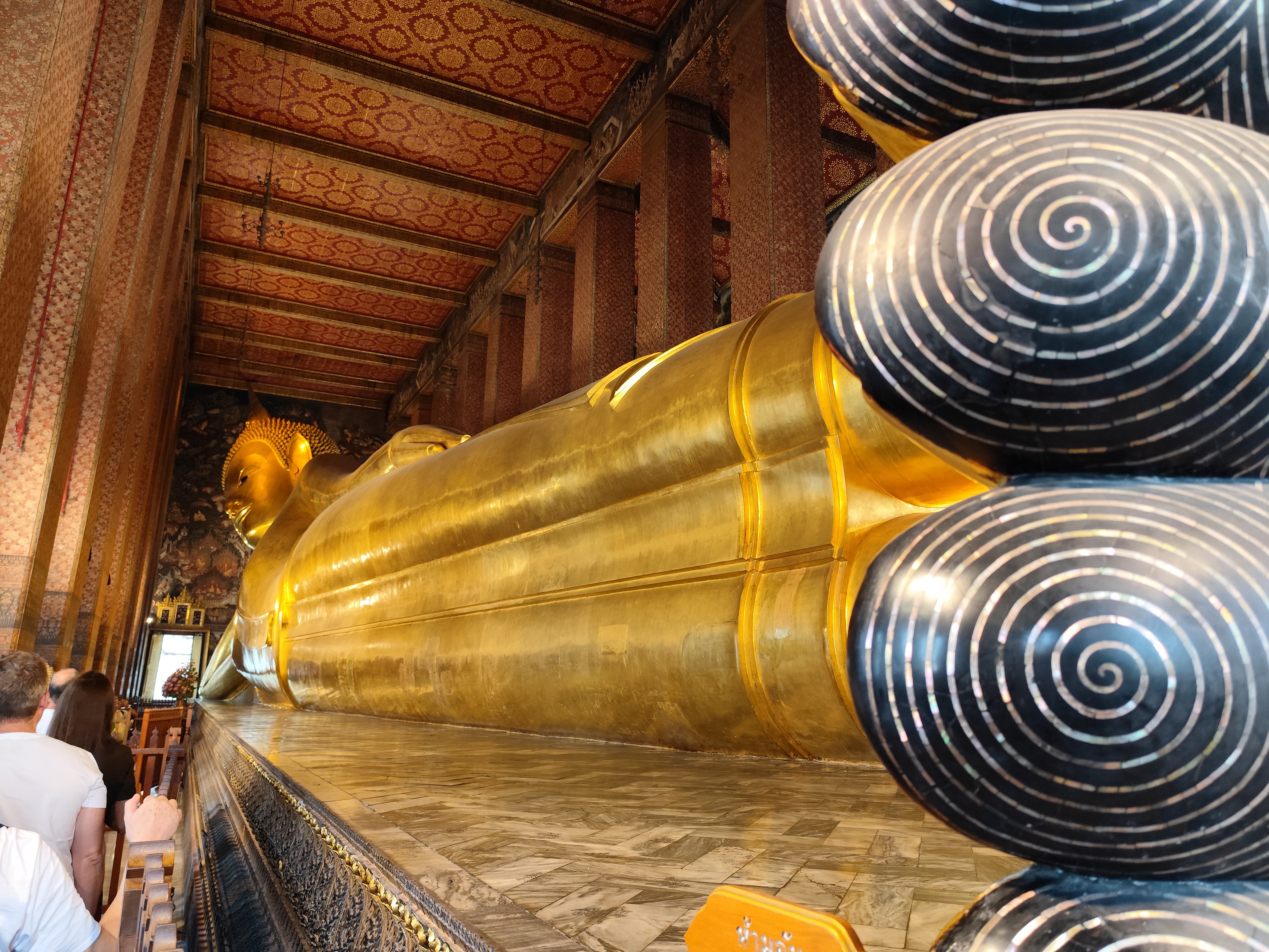
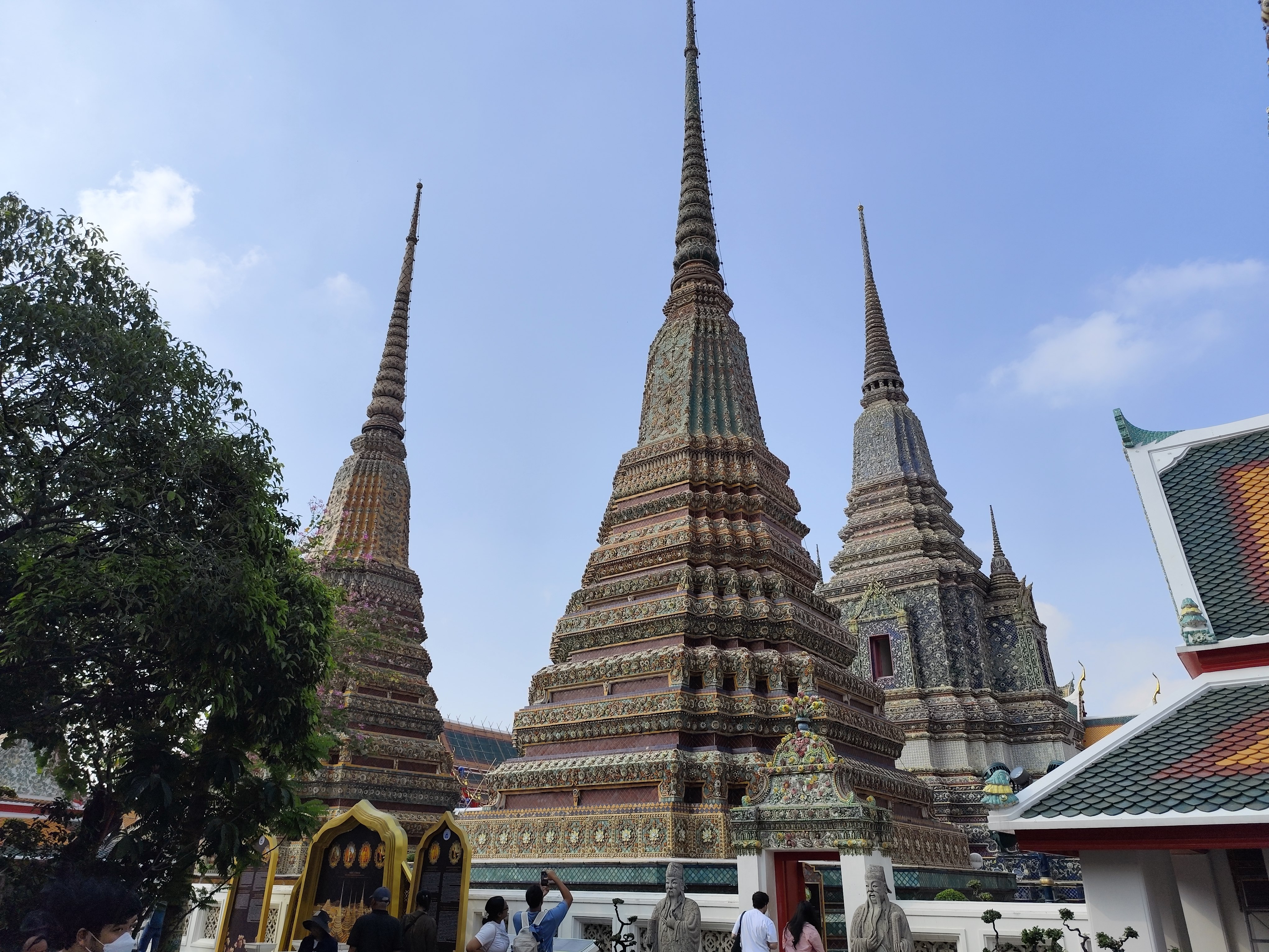
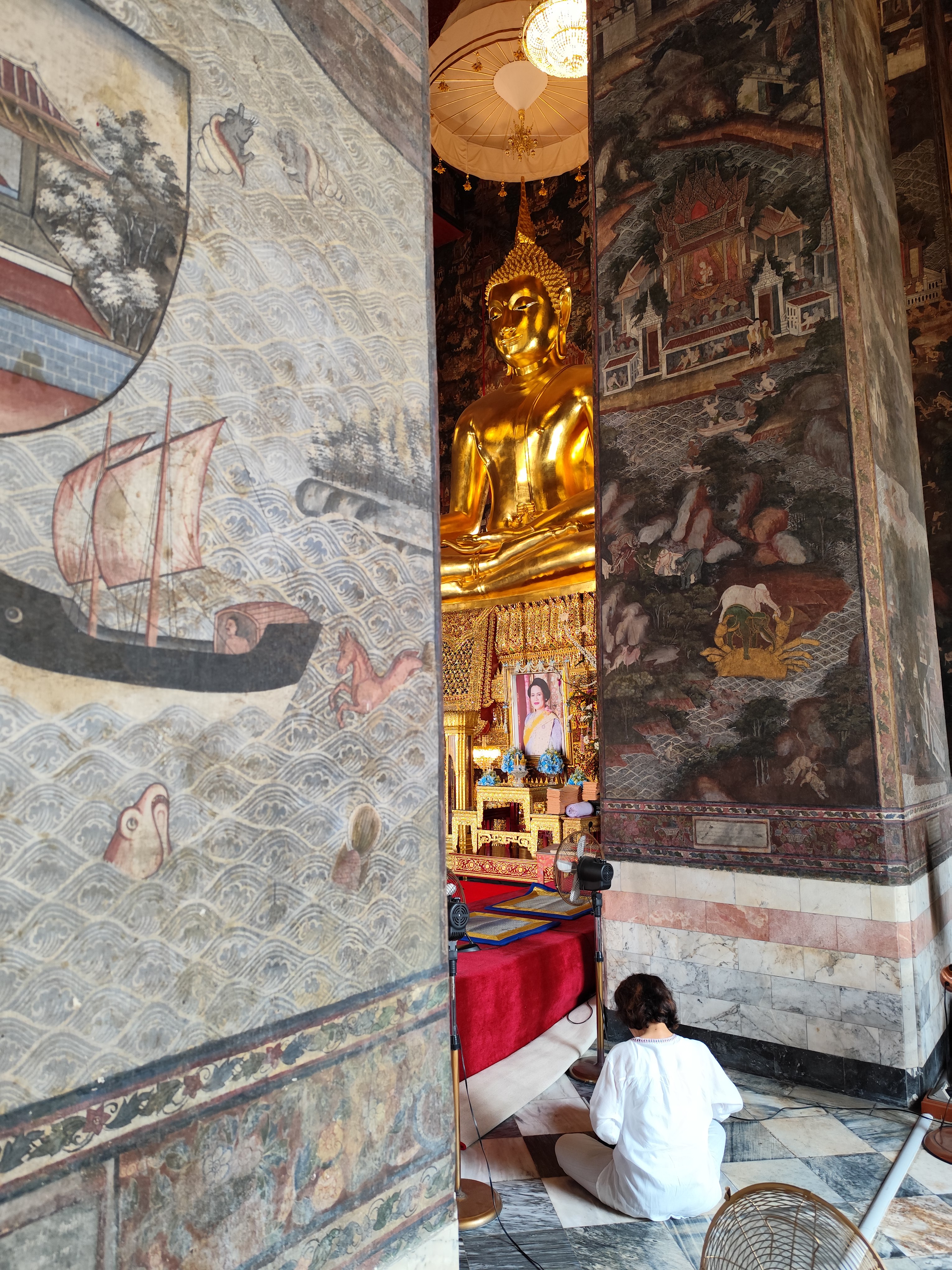
Bangkok, Wat Pho with 46 m long reclining Buddha
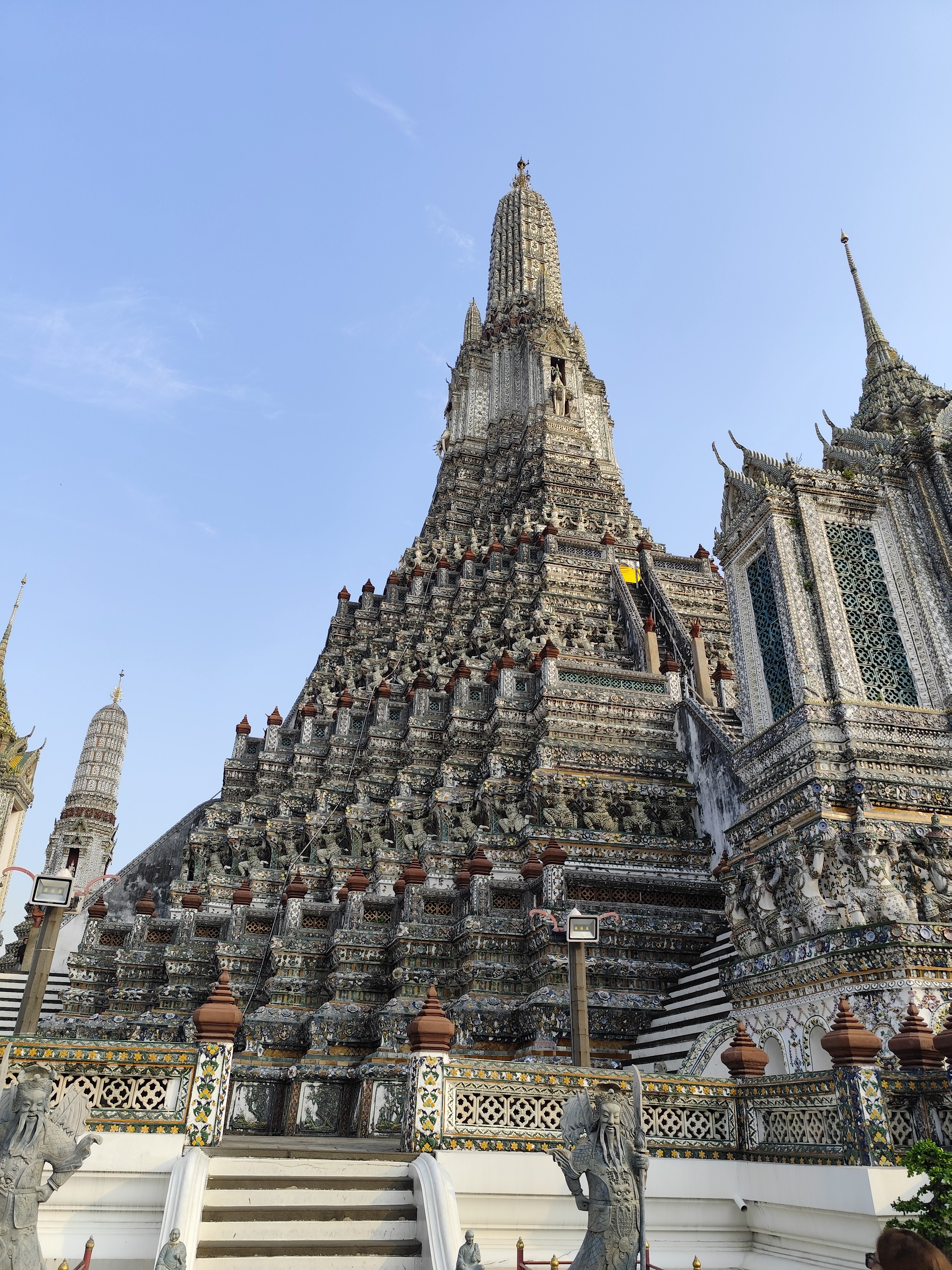
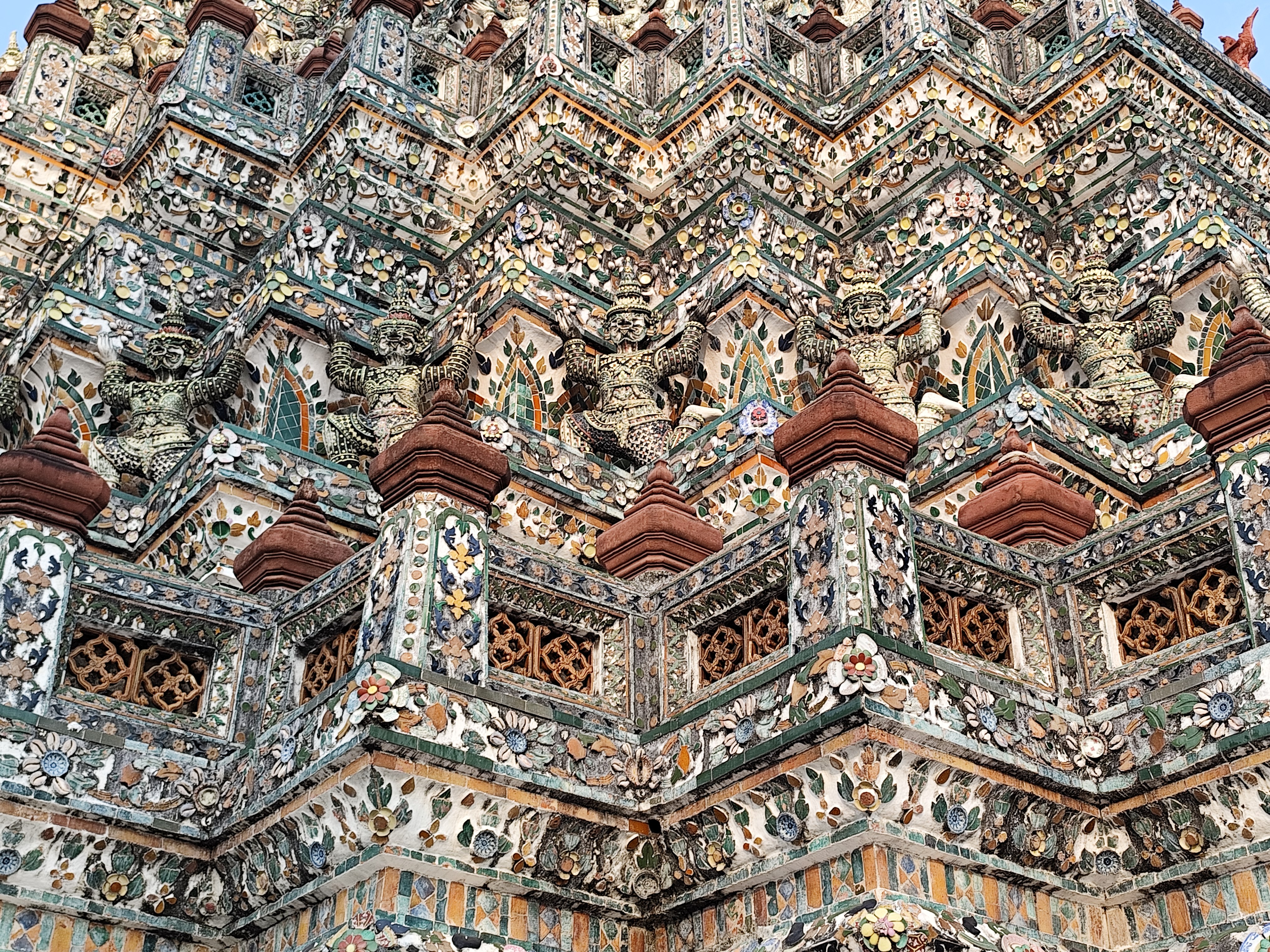
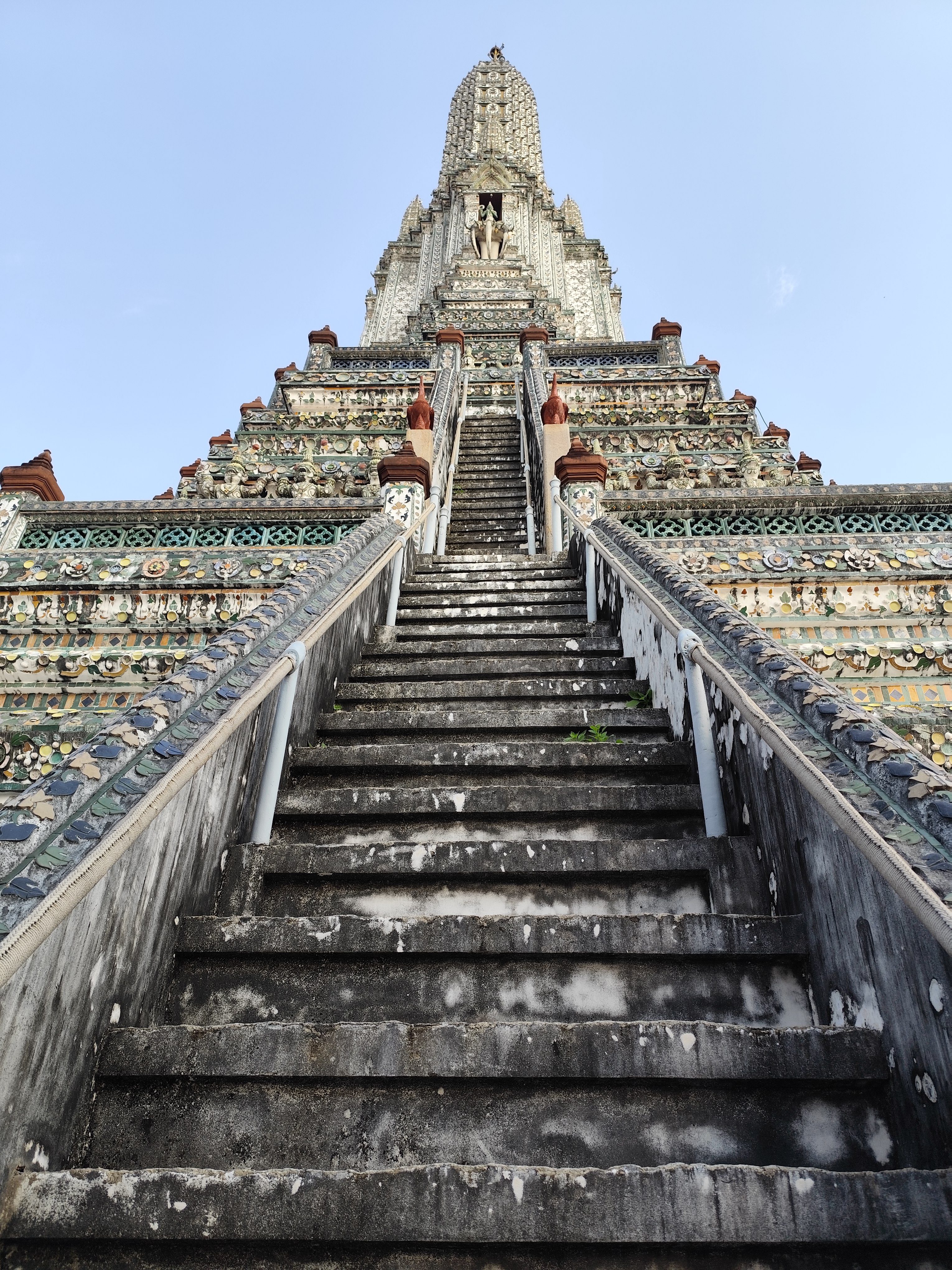
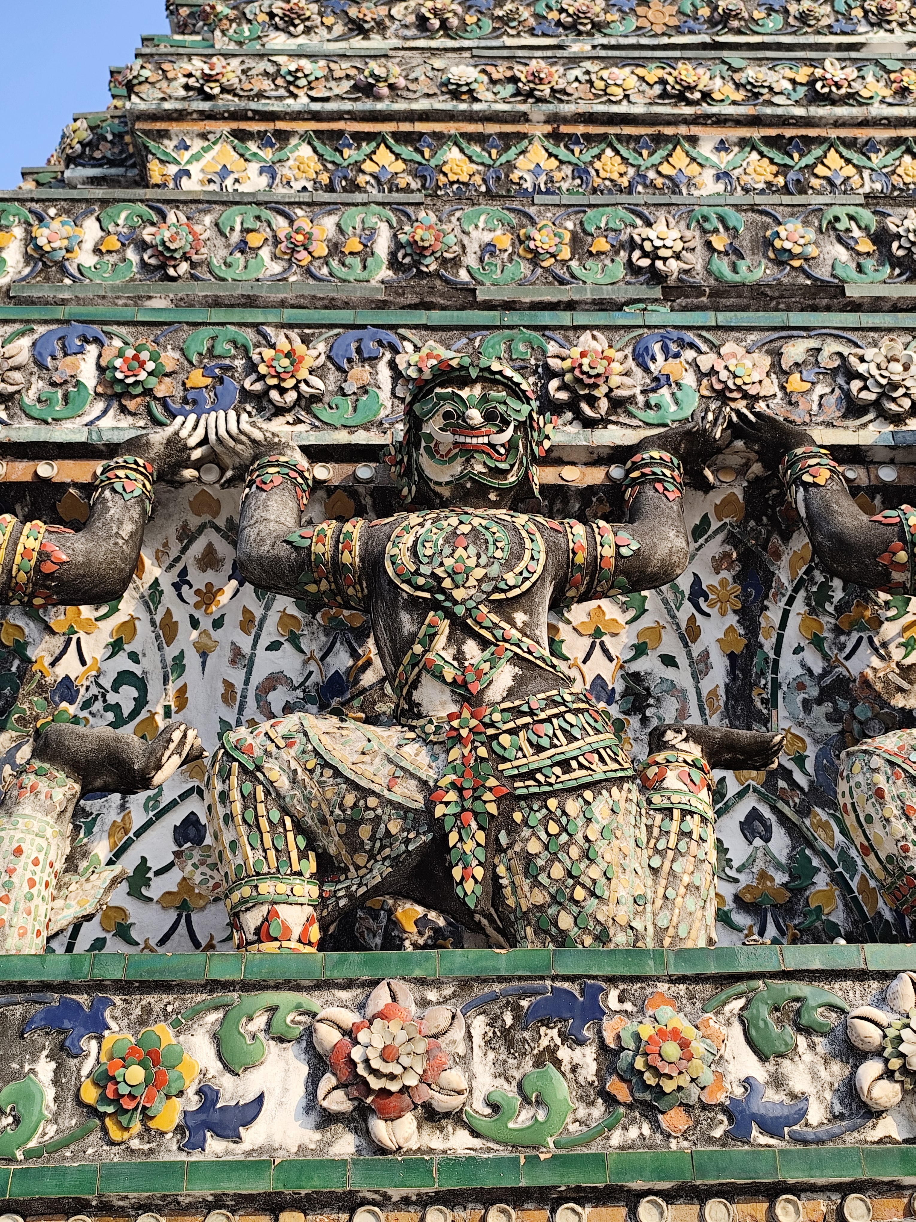
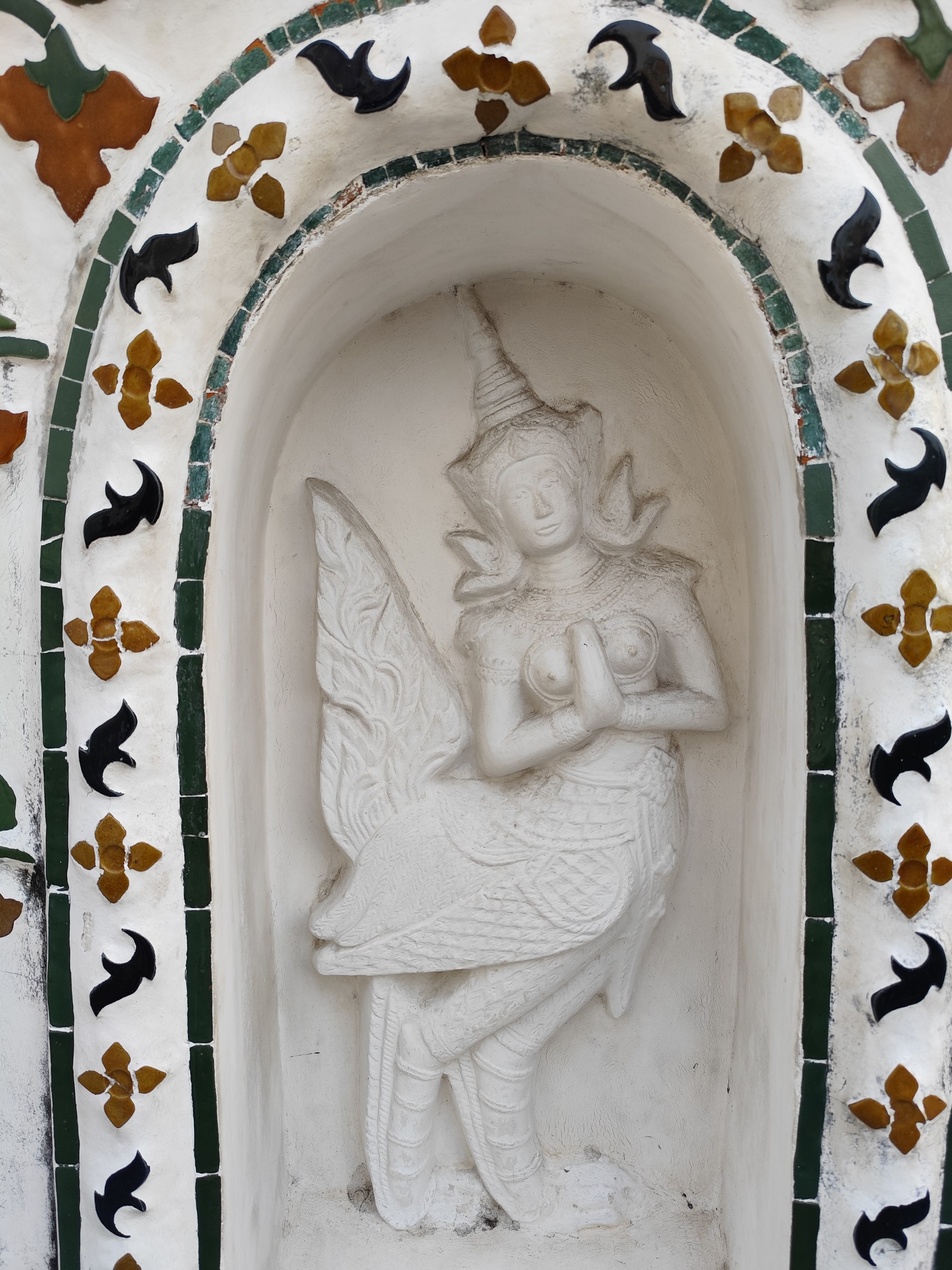
Bangkok, Wat Arun "Temple of Dawn "
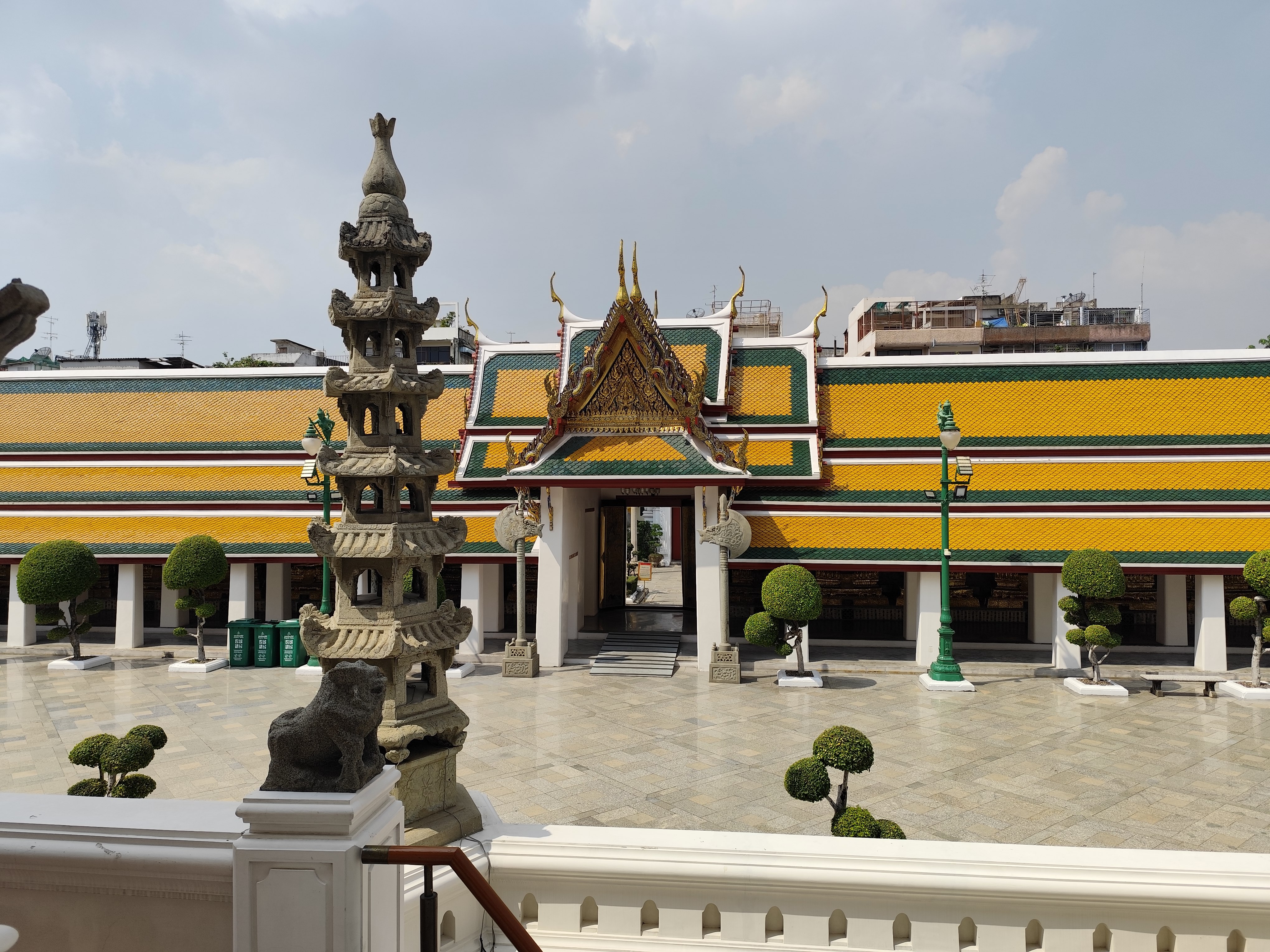
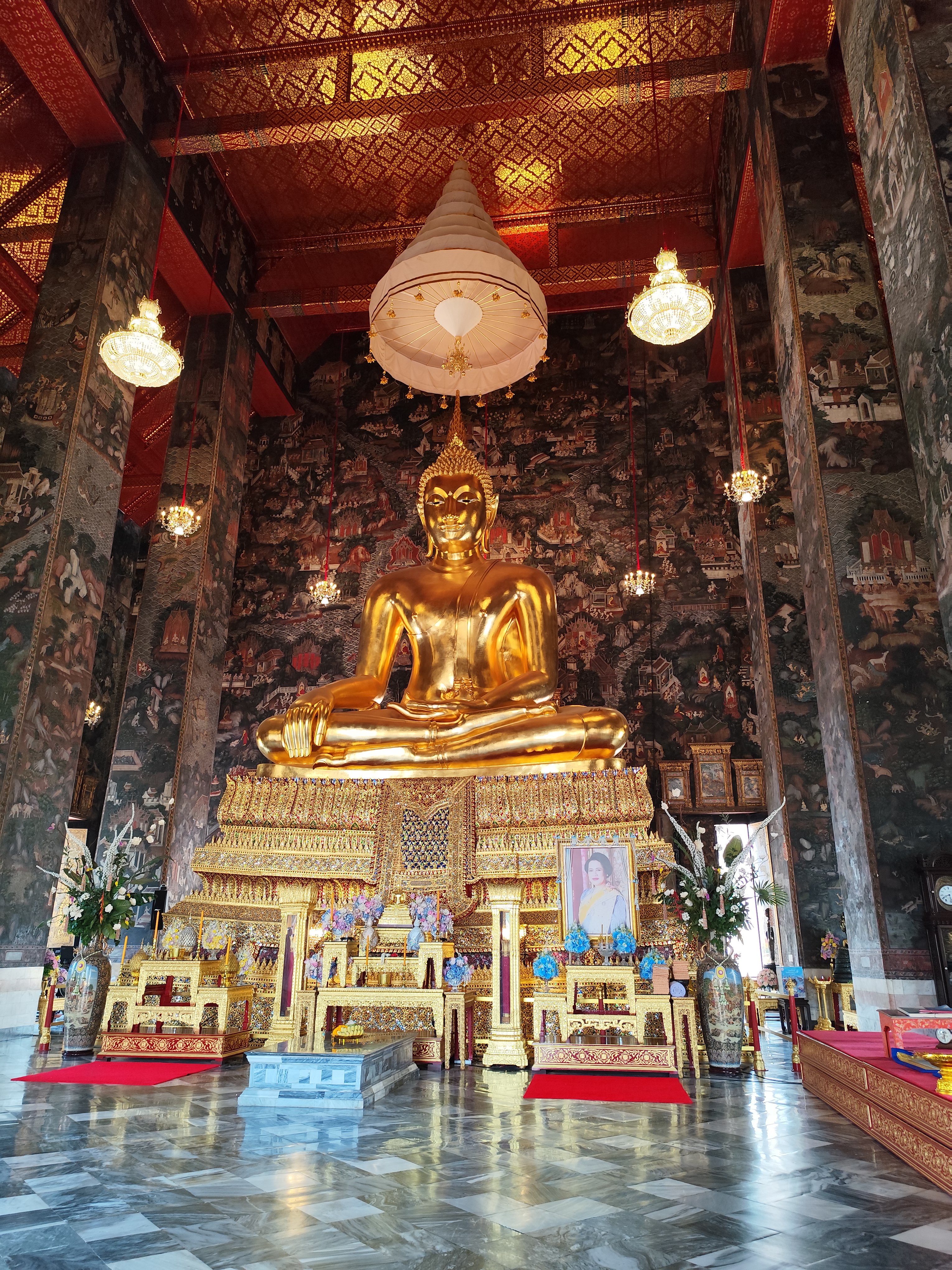
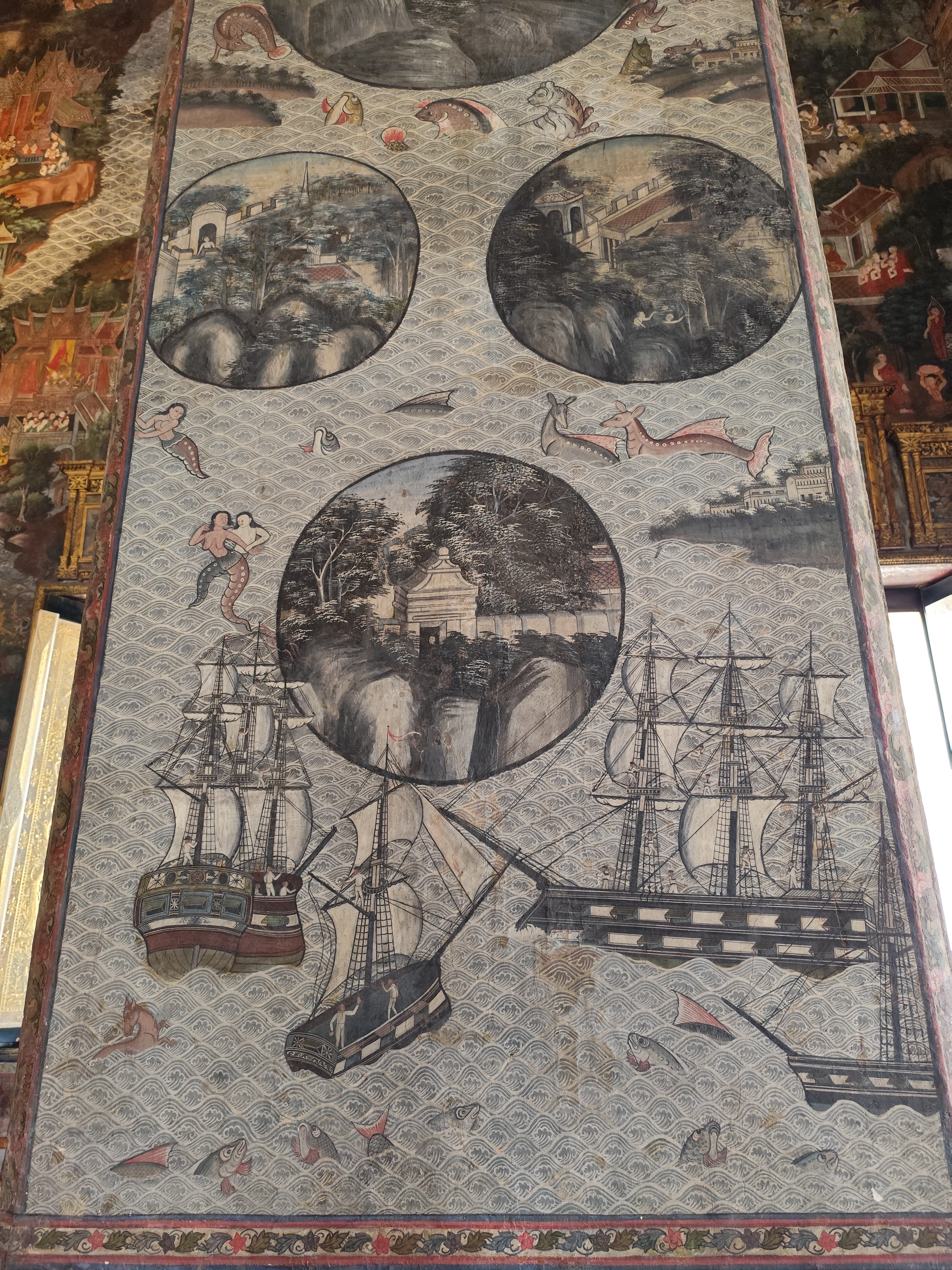
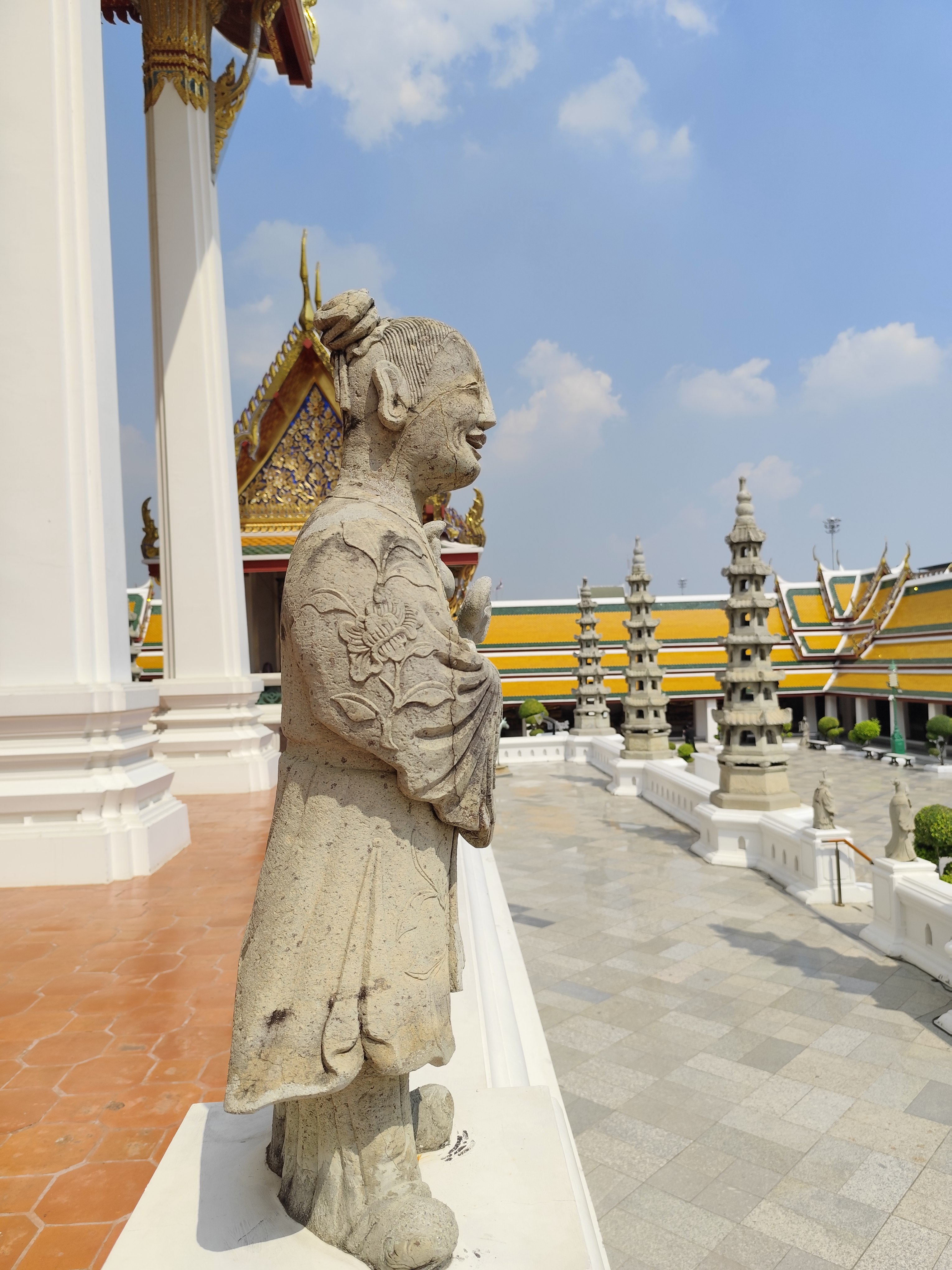
Bangkok, Wat Suthat Thepwarararam buddhist temple
This one I have left out!>> Chiang Mai >> Ban Nam Tok Mae Klang 120 km, 3.5 hours by car
1793 – Doi Inthanon (2553 m)
Start: Ban Nam Tok Mae Klang, 285 m, Start coordinates:
18.43291, 98.6846, DOL 2268 m!!!, Distance: 46.9 km, Gravity: 4.8 - 15.9%, EP: 2299
I was shocked to read that cyclists are prohibited from descending from the summit.
Transportation should be arranged in advance , such as a taxi. Cyclists will be blocked and fined !
Flight home
Home
|